|
| U.S. Geological Survey Open-File Report 02-002 |
|
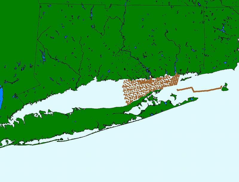
82_3NAVP: 5 Minute Navigation Points for R/V ASTERIAS 82-3 (AST82-3) |
Metadata also available as: FAQ - TEXT
Although this derived data set and its lineage dataset have been used by the USGS, no warranty, expressed or implied, is made by the USGS as to the accuracy of the data and/or related materials. The act of distribution shall not constitute any such warranty, and no responsibility is assumed by the USGS in the use of these data or related materials.