|
|
|
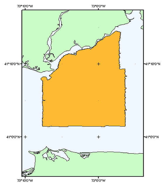
H11044_OUTLINE - Outline of the sidescan sonar mosaic completed during NOAA survey H11044 |
Metadata also available as: FAQ | TEXT
Anthropogenic wastes, toxic chemicals, and changes in land-use patterns resulting from residential, commercial, and recreational development have stressed the environment of the Sound, causing degradation and potential loss of benthic habitats (Koppelman and others, 1976; Long Island Sound Study, 1994). Detailed maps of the sea floor are needed to help evaluate the extent of adverse impacts and to help manage resources wisely in the future. Therefore, in a continuing effort to better understand Long Island Sound, we have constructed and interpreted sidescan sonar mosaics (complete-coverage acoustic images of the sea floor) within specific areas of special interest. The mosaic presented herein covers almost 300 km square area of the sea floor in west-central Long Island Sound off Milford, Connecticut.
The mosaics and their interpretations (represented in part by this data layer) serve many purposes, including: (1) defining the geological variability of the sea floor, which is one of the primary controls of benthic habitat diversity; (2) improving our understanding of the processes that control the distribution and transport of bottom sediments and the distribution of benthic habitats and associated infaunal community structures; and (3) providing a detailed framework for future research, monitoring, and management activities. The sidescan sonar mosaics also serve as base maps for subsequent sedimentological, geochemical, and biological observations, because precise information on environmental setting is important for selection of sampling sites and for accurate interpretation of point measurements.