|
|
|
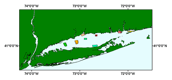
LIS_SURVEYS: area outlines of the U.S. Geological Survey completed Long Island Sound sidescan sonar mosaics |
Metadata also available as: FAQ | TEXT
This process was repeated for each of the eight shapefiles.
Any use of trade, product, or firm names is for descriptive purposes only and does not imply endorsement by the U.S. Government.
The act of distribution shall not constitute any such warranty, and no responsibility is assumed by the U.S. Geological Survey in the use of this data, software, or related materials.