 | |
USGS Open-File Report 2005-1162, Sidescan-Sonar Imagery and Surficial Geologic Interpretation of the Sea Floor off Bridgeport, Connecticut
Title Page | Introduction | Geologic Setting | Data/Processing | Bathymetry | Sidescan | Catalog | Figures | References| Contacts
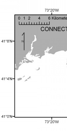 | 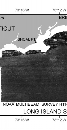 | 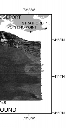 |
Figure 2. Sidescan-sonar mosaic of the sea floor off Bridgeport, Connecticut, (NOAA survey H11045). Light tones on the image represent areas of relatively high backscatter (typically coarser grained sediments); dark tones represent areas of relatively low backscatter (typically finer grained sediments). Appearance of parallel lineation in parts of the mosaic is caused by poor tone matching of ships track lines. | ||