Other ID: VERL 70-26
Status: Completed
Organization(s): USGS, Woods Hole Coastal and Marine Science Center
Funding Program(s):
Principal Investigator(s): John S. Schlee
Affiliate Investigator(s):
Information Specialist(s):
Data Type(s): Sampling: Geology, Environmental Data: Current, Sampling: Chemistry, Environmental Data: Turbidity, Environmental Data: CTD, Environmental Data: Temperature, Location-Elevation: Navigation
Scientific Purpose/Goals: Set two current meters and make current measurements and vertical profiles of salinity and temperature in Massachusetts Bay and west of Stellwagen Bank.
Vehicle(s):
Start Port/Location: Woods Hole, MA
End Port/Location: Woods Hole, MA
Start Date: 1970-08-10
End Date: 1970-08-13
Equipment Used: Van Veen grab sampler, ORE Current Meter, Van Dorn bottle, Laser nephelometer, Temperature and salinity, Visual navigation
Information to be Derived:
Summary of Activity and Data Gathered: Departed Woods Hole at 0930, August 10 and proceeded to Massachusetts Bay. Set an ORE current meter approximately 3 miles east of the Boston Light Ship on a gravel bottom, 140 feet deep. That night we proceeded 4 1/2 miles north-northwest and anchored. The next morning (August 11) we set the second ORE meter in approximately 90 feet of water. Weather deteriorated during the day as a nor'easter blew up, with 25 kt winds and waves 5 to 6 feet. We made two more stations in the rain, both to measure in situ currents near the sea floor utilizing the Marine Advisers meters. The first station was off Marblehead and the second off Nahant Bay. That evening we took shelter in Boston Harbor. On August 12 we listened with a hydrophone for electronically bugged sea bed drifter released on the previous month's cruise by Dave Folger, near the entrance to Boston Harbor. Then we went approximately 3 miles east-northeast of the Graves Lighthouse and made additional bottom current measurements. After 3/4 hour of operation the meter banged on the bottom and ceased operation. Attempts to repair it proved unsuccessful. We set and tracked an electronically bugged sea bed drifter, checked unsuccessfully for ones released the previous month near Nantasket Beach. That evening we anchored 4 1/2 miles east of Nantasket Beach and made water casts, BTs, and temperature profiles through the night. The next day (August 13) we headed back to Woods Hole arriving there at 1645. The cruise was cut one day short because of malfunctioning gear (current meter and hydrophone).
Staff: John S. Schlee, Charles J. O'Hara, David W. Folger
Affiliate Staff:
Dan Jipa - Visiting Investigator
WHOI
Notes:
Location:
Massachusetts Bay, west of Stellwagen Bank, Massachusetts, United States, North America, North Atlantic;
| Boundaries | |||
|---|---|---|---|
| North: 42.49257761 | South: 42.29051662 | West: -70.87464264 | East: -70.65932486 |
Platform(s):
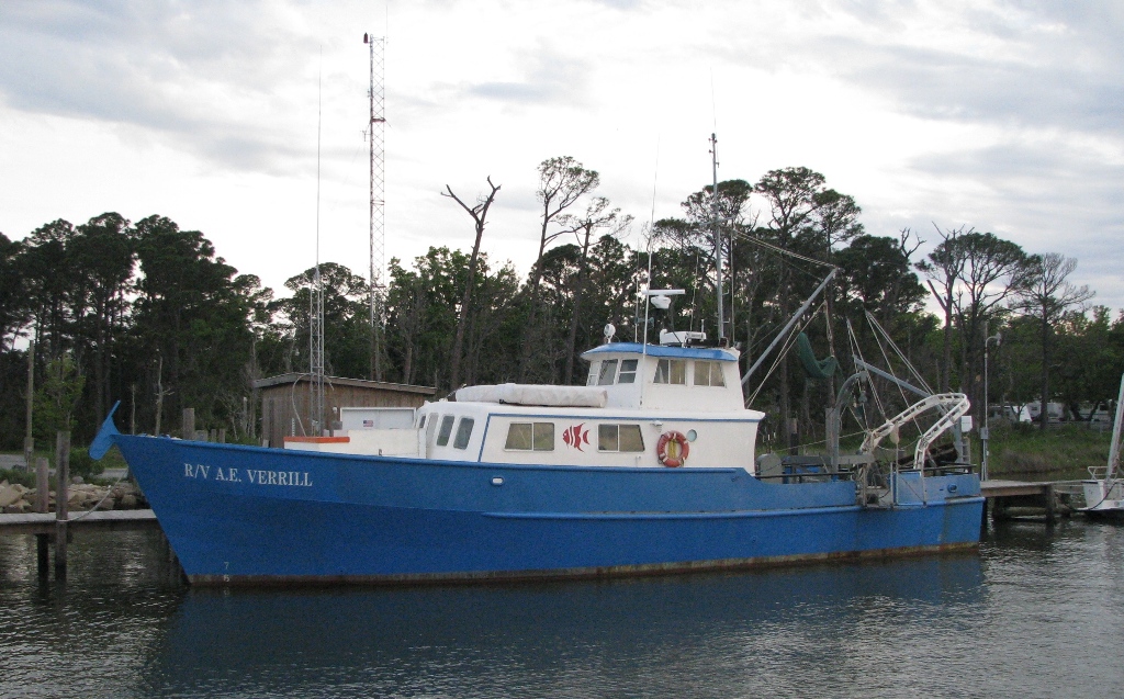 Verrill, A. E. |
Tucholke, B.E., Oldale, R. N., and Hollister, C. D., 1972, Map showing echo-sounding survey (3.5 kHz) of Massachusetts and Cape Cod Bays, western Gulf of Maine: U.S. Geological Survey Map I-716, 1 sheet, URL: https://pubs.er.usgs.gov/publication/i716.
| Title | Survey Equipment | Description |
|---|---|---|
| Cruise report | (document not focused on specific equipment) | Chief Scientist's report including personnel, equipment, and operations notes. |
| Survey Equipment | Survey Info | Data Type(s) | Data Collected |
|---|---|---|---|
| Van Veen grab sampler | --- | Geology | 1970-009-FA-SC-001 (GRAB, UNKNOWN samples) |
| ORE Current Meter | --- | Current | |
| Van Dorn bottle | --- | Chemistry | |
| Laser nephelometer | --- | Turbidity | |
| Temperature and salinity | --- | CTD Temperature | |
| Visual navigation | --- | Navigation |
