Other ID: VERL 70-29
Status: Completed
Organization(s): USGS, Woods Hole Coastal and Marine Science Center
Funding Program(s):
Principal Investigator(s): John S. Schlee
Affiliate Investigator(s):
Information Specialist(s):
Data Type(s): Sampling: Geology
Scientific Purpose/Goals: Sampling.
Vehicle(s):
Start Port/Location:
End Port/Location:
Start Date: 1970-09-14
End Date: 1970-09-18
Equipment Used: Van Veen grab sampler
Information to be Derived:
Summary of Activity and Data Gathered: Samples: 13.
Staff: John S. Schlee
Affiliate Staff:
Notes:
Location:
Massachusetts Bay, Cape Cod Bay, Massachusetts, United States, North America, North Atlantic;
| Boundaries | |||
|---|---|---|---|
| North: 42.66605737 | South: 41.91022373 | West: -70.90760171 | East: -70.23635076 |
Platform(s):
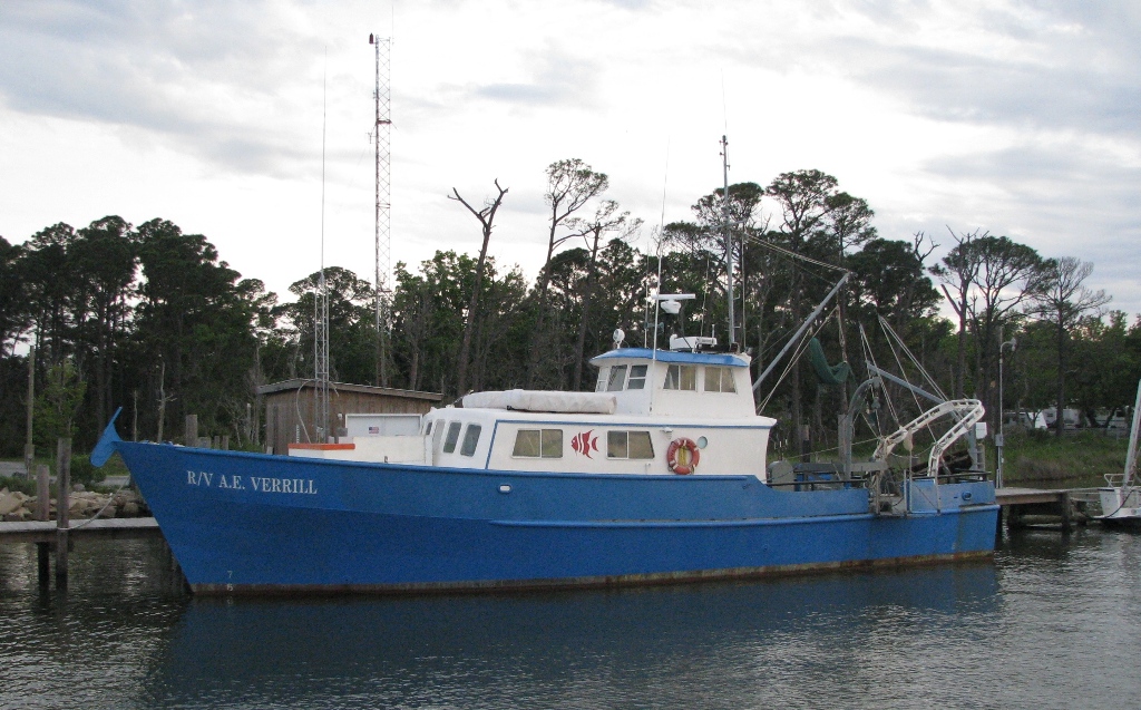 Verrill, A. E. |
Tucholke, B.E., Oldale, R. N., and Hollister, C. D., 1972, Map showing echo-sounding survey (3.5 kHz) of Massachusetts and Cape Cod Bays, western Gulf of Maine: U.S. Geological Survey Map I-716, 1 sheet, URL: https://pubs.er.usgs.gov/publication/i716.
| Survey Equipment | Survey Info | Data Type(s) | Data Collected |
|---|---|---|---|
| Van Veen grab sampler | --- | Geology | 1970-010-FA-SC-001 (GRAB, UNKNOWN samples) |
