Other ID: VERL 71-08
Status: Completed
Organization(s): USGS, Woods Hole Coastal and Marine Science Center
Funding Program(s):
Principal Investigator(s): John S. Schlee
Affiliate Investigator(s):
Information Specialist(s):
Data Type(s): Environmental Data: Current, Location-Elevation: Navigation, Seismics: Sub Bottom Profiler
Scientific Purpose/Goals:
Vehicle(s):
Start Port/Location:
End Port/Location:
Start Date: 1971-05-21
End Date: 1971-05-21
Equipment Used: Geodyne current meter, Visual navigation, 3.5 kHz
Information to be Derived:
Summary of Activity and Data Gathered: Deployed: 1 Geodyne current meter, #391.
Staff: Charles J. O'Hara, James M. Robb, John S. Schlee
Affiliate Staff:
Notes:
Location:
Cape Cod Bay, Massachusetts, United States, North America, North Atlantic,
| Boundaries | |||
|---|---|---|---|
| North: 42.1 | South: 42 | West: -70.3 | East: -70.2 |
Platform(s):
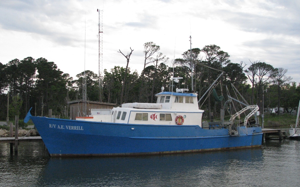 Verrill, A. E. |
| Survey Equipment | Survey Info | Data Type(s) | Data Collected |
|---|---|---|---|
| Geodyne current meter | --- | Current | |
| Visual navigation | --- | Navigation | |
| 3.5 kHz | --- | Sub Bottom Profiler | 1971-009-FA-SE-001 ( Collection of paper record displays of seismic data( 3.5K) for lines ) |
