Other ID: none
Status: Completed
Organization(s): USGS, Woods Hole Coastal and Marine Science Center
Funding Program(s):
Principal Investigator(s): Charles J. O'Hara
Affiliate Investigator(s):
Information Specialist(s):
Data Type(s): Sonar: Sidescan, Location-Elevation: Navigation
Scientific Purpose/Goals: As part of the proposed Federal Harbor improvement and maintenance dredging of Fall River and Mt. Hope Bay, a dump site for the dredge spoils is proposed for an area 2 miles southeast of Browns Ledge in Eastern Rhode Island Sound. This site is also being considered as a regional disposal ground for state and private organizations performing dredging for the Corps. The USGS in cooperation with the New England Division of the U.S. Army Corps of Engineers will conduct a sidescan sonar survey as part of a continuing program to determine the suitability and potential environmental impact of ocean dumping of dredge spoil material at the site. Available ship time will also permit acquisition of sonograph data of the sea floor beneath Vineyard Sound to study a massive beach and shoal complex underlying most of the sound and to identify possible sites for bottom grab sampling and coring.
Vehicle(s):
Start Port/Location: Woods Hole, MA
End Port/Location: Woods Hole, MA
Start Date: 1976-08-02
End Date: 1976-08-06
Equipment Used: Klein 531 sidescan, Epsco LORAN-C
Information to be Derived: Sea floor map;
Summary of Activity and Data Gathered: Eastern Rhode Island Sound sidescan sonar: 104 km; Vineyard Sound sidescan sonar: 120 km.
Staff: David Twichell, Charles J. O'Hara, Robert N. Oldale, Harley J. Knebel, Wayne Ferrebee
Affiliate Staff:
Charles E. Franks - GFA
David Forrier - USGS/Northeastern Co-op. Student; Charles Finkelstein - engineer
Klein Assoc.
Salem
NH; Scott Briggs - student
WHOI/MIT; David Johnson - Assoc. Sci.
WHOI; Steve Yokubaitis - student
URI; Shigeaki Kubo - geologist
Sanyo Hydrologic Survey
Tokyo
Japan; Tadahiko Katsura - geologist
Japan Hydrologic Office
Tokyo
Japan
Notes: Original Center People field contained: Chuck O'Hara - Scientist-in-charge, Bob Oldale - geologist, Wayne Mac Ferrebee - geologist, Harley Knebel - geologist, Charles E. Franks - GFA, David Forrier - USGS/Northeastern Co-op. Student, Dave Twichell - USGS/URI Student.
Location:
proposed Browns Ledge dredge spoil dump site, Eastern Rhode Island Sound, Rhode Island, Vineyard Sound, Elizabeth Islands, Martha's Vineyard, Massachusetts, United States, North America, North Atlantic;
| Boundaries | |||
|---|---|---|---|
| North: 41.5 | South: 41.25 | West: -71.1 | East: -70.65 |
Platform(s):
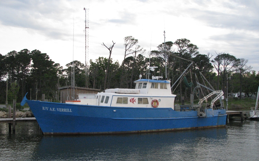 Verrill, A. E. |
O'Hara, C.J., 1980, Side-scan sonograph data from eastern Rhode Island Sound and Vineyard Sound, Massachusetts: U.S. Geological Survey Open-File Report 1980-283, 3 p., https://doi.org/10.3133/ofr80283.
O'Hara, C.J., and Oldale, R.N., 1980, Maps showing geology and shallow structure of eastern Rhode Island Sound and Vineyard Sound, Massachusetts: U.S. Geological Survey Miscellaneous Field Studies Map MF-1186, 5 sheets, 41 p., URL: https://doi.org/10.3133/mf1186.
| Title | Survey Equipment | Description |
|---|---|---|
| Cruise report | (document not focused on specific equipment) | Chief Scientist's log of ship movement, equipment and data acquisition notes, personnel activities, and cruise summary. |
| Survey Equipment | Survey Info | Data Type(s) | Data Collected |
|---|---|---|---|
| Klein 531 sidescan | --- | Sidescan | 1976-029-FA-SE-001 (film collection of ) 1976-029-FA-SO-001 (microfilm of *SMALL CAN) |
| Epsco LORAN-C | --- | Navigation |
