Other ID: Cruise II, Leg VI; RP-4-SO-79B
Status: Completed
Organization(s): USGS, Woods Hole Coastal and Marine Science Center
Funding Program(s):
Principal Investigator(s): Raymond E. Davis
Affiliate Investigator(s):
Information Specialist(s):
Data Type(s): Seismics: Ocean Bottom Seismometer, Location-Elevation: Navigation
Scientific Purpose/Goals: Recover 5 OBIPs (Ocean Bottom Instrument Packages) deployed on Leg II. This offshore OBIP array was placed so as to complement the USGS land station network in obtaining magnitude and acceleration data of offshore earthquakes in the northeast Gulf of Alaska.
Vehicle(s):
Start Port/Location: Kodiak, AK
End Port/Location: Kodiak, AK
Start Date: 1979-09-04
End Date: 1979-09-15
Equipment Used: Ocean Bottom Seismometer, Loran-C
Information to be Derived:
Summary of Activity and Data Gathered: Preliminary review of seismic data showed good system operation in 4 of the 5 instruments. Amplitudes were truncated in another but timing and frequency data were still useful. OBIPS consistently detected and recorded seismic displacement about 5 millimicrons at 10 Hz; recorder noise levels preclude meaningful interpretation of events below 40-50 millimicron levels. Eight events were recorded, from 1 to 14 microns, that correlated with 4 OBIPs and the land station network. OBIPs recovered: 5 (5 days of data each).
Staff: Raymond E. Davis
Affiliate Staff:
Notes:
Location:
Yakutat Bay, northeast Gulf of Alaska, Alaska, United States, North America, North Pacific;
| Boundaries | |||
|---|---|---|---|
| North: 59.5 | South: 58.5 | West: -141 | East: -139 |
Platform(s):
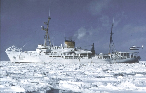 Surveyor |
| Title | Survey Equipment | Description |
|---|---|---|
| Cruise report | (document not focused on specific equipment) | Chief Scientist's summary of ship navigation, succesful equipment recovery and data quality. |
| Survey Equipment | Survey Info | Data Type(s) | Data Collected |
|---|---|---|---|
| Ocean Bottom Seismometer | --- | Ocean Bottom Seismometer | |
| Loran-C | --- | Navigation | 1979-027-FA-NL-001 (Chief Scientist's summary of ship navigation, succesful equipment recovery and data quality, etc.
) |
