Other ID: GUAT 80
Status: Completed
Organization(s): USGS, Woods Hole Coastal and Marine Science Center
Funding Program(s):
Principal Investigator(s): Charles Paull
Affiliate Investigator(s):
Information Specialist(s):
Data Type(s): Electro-Magnetic: Magnetics, Location-Elevation: Navigation, Seismics: Air Gun / Water Gun, Seismics: Sub Bottom Profiler, Seismics: Sonobuoy, Sampling: Geology, Seismics: Boomer
Scientific Purpose/Goals: Conduct geophysical and sampling surveys of two volcanic calderas (Lago de Atitlan and Laguna de Ayarza) and a geophysical survey of a coastal bay underlain by major faults (Bahia de Amatique) in conjunction with Dartmouth College's ongoing volcanology research in the area.
Vehicle(s):
Start Port/Location: Lake Atitlan, Guatemala
End Port/Location: Bay of Amatique, Guatemala
Start Date: 1980-01-19
End Date: 1980-03-06
Equipment Used: Gravity corer, Piston corer, Boomer, Seismic refraction, 3.5 kHz, Air gun, Marine magnetometer, Motorola Mini-Ranger III, Compass, Single channel hydrophone
Information to be Derived: Samples and chemical analysis; Grain size analysis; Sea floor map; Bathymetric maps; Morphology;
Summary of Activity and Data Gathered: The USGS-Dartmouth cooperative group operated in Guatemala from early January to early March 1980. Geophysical and sampling surveys were carried out in two volcanic calderas and a geophysical survey was made in a coastal bay that is underlain by major faults. These operations successfully collected large amounts of seismic reflection and refraction profiles, magnetic intensity data, cores and heat flow information. Vessel TRANSNAVE replaced XAMAN EK on February 28, 1980. Cores: Atitlan=12, Ayarza=5; 3.5 kHz; Airgun; Magnetics; Sonobuoys.
Staff: William Dillon, David W. Folger, David Mason, Jerry McCarthy, Kenneth F. Parolski, Charles Paull
Affiliate Staff:
Nancy Bonar (Dartmouth College) - geologist; Christopher Newhall (Dartmouth) - geologist; John Ziagos (Southern Methodist U.) - geophysicist
Notes: No cruise report. Original Center People field contained: Charles Paull - Ch. Sci., geologist; William Dillon - geologist; Dave Folger - geologist; David Mason - mech. tech.; Gerald (Jerry) McCarthy - elect. tech., Ch. Tech.; Kenneth Parolski - elec. tech.
Project = Guatemala Caldera Lakes, Guatemala Caldera Lakes
From Foghorn: 3.5 kHz;Airgun;Piston corer;Gravity corer;Magnetometer;
Location:
Lago de Atitlan, Laguna de Ayarza, Bahia de Amatique, Guatemala, Belize, Bay of Honduras, Caribbean Sea, Central America, North Atlantic;
| Boundaries | |||
|---|---|---|---|
| North: 16.2 | South: 14.4 | West: -91.3 | East: -88.5 |
Platform(s):
Transnave II | 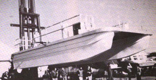 Xaman Ek |
Poppe, L.J., Paull, C.K., and Newhall, C.G., 1981, X-ray mineralogy of cores from two Guatemalan caldera lakes: U.S. Geological Survey Open-File Report 81-1333, https://doi.org/10.3133/ofr811333.
| Survey Equipment | Survey Info | Data Type(s) | Data Collected |
|---|---|---|---|
| Gravity corer | --- | Geology | |
| Piston corer | --- | Geology | |
| Boomer | --- | Boomer | |
| Seismic refraction | --- | Sonobuoy | |
| 3.5 kHz | --- | Sub Bottom Profiler | |
| Air gun | --- | Air Gun / Water Gun | |
| Marine magnetometer | --- | Magnetics | |
| Motorola Mini-Ranger III | --- | Navigation | 1980-036-FA-LN-001 (Navigation trackline plot for field activity 80036) |
| Compass | --- | Navigation | |
| Single channel hydrophone | --- | Air Gun / Water Gun Boomer Bubble Gun Sparker Sub Bottom Profiler | 1980-036-FA-SE-002 (microfilm of ATITLAN,AYARZA) 1980-036-FA-SE-003 (analog tape of seismic data) 1980-036-FA-SE-001 ( Collection of paper record displays of seismic data( 40K*) for lines ) |
