Other ID: none
Status: Completed
Organization(s): USGS, Woods Hole Coastal and Marine Science Center
Funding Program(s):
Principal Investigator(s): Anne M. Trehu
Affiliate Investigator(s): Barry Keller
Information Specialist(s):
Data Type(s): Location-Elevation: Navigation, Seismics: Ocean Bottom Seismometer
Scientific Purpose/Goals: Leg 1 of three cruises compiled on one report, all 1982. LEG 1: 7/14-7/17, R/V ELLEN B. SCRIPPS - Conduct a seismic refraction experiment. Subsequent planned experiments cancelled after permit suspension. (See related FAs 82027 and 82033.)
Vehicle(s):
Start Port/Location: Port Hueneme, CA
End Port/Location: Santa Barbara, CA
Start Date: 1982-07-14
End Date: 1982-07-17
Equipment Used: Loran-C, Ocean Bottom Seismometer
Information to be Derived:
Summary of Activity and Data Gathered: Refraction experiment conducted and data recorded in the Santa Barbara Channel. Two ocean bottom seismometers were deployed. Further experimentation planned for the Santa Maria Basin was cancelled when permits were suspended due to fishermen protests.
Staff: Bruce Ambuter, Raymond E. Davis, Anne M. Trehu
Affiliate Staff:
Barry Keller - UC Santa Barbara; Bill Prothero - UC Santa Barbara; unlisted UC students
Notes: Three cruise legs compiled on one report, all 1982. LEG 1: 7/14-7/17, R/V ELLEN B. SCRIPPS, FA 82024. LEG 2: 7/26, USCG CAPE WASH, FA 82027. LEG 3: 9/14, USCG CAPE HEDGE, FA 82033.
Location:
Port Hueneme, Santa Barbara, Santa Barbara Channel, California, United States, North America, North Pacific;
| Boundaries | |||
|---|---|---|---|
| North: 34.85556 | South: 33.60167 | West: -121.469 | East: -119.4 |
Platform(s):
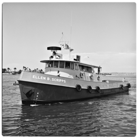 Ellen B Scripps |
| Title | Survey Equipment | Description |
|---|---|---|
| Cruise report | (document not focused on specific equipment) | Chief Scientist's cruise report including personnel, equipment description and configuration, summary of seismic data collected, cruise narative, OBIP locations and shot times, location map. This cruise report is also for 1982-027-FA and 1982-033-FA. |
| Survey Equipment | Survey Info | Data Type(s) | Data Collected |
|---|---|---|---|
| Loran-C | --- | Navigation | |
| Ocean Bottom Seismometer | --- | Ocean Bottom Seismometer | 1982-024-FA-SE-001 (Digital tape(s) of OBIP, ) |
