Other ID: SJHN 89-1
Status: Completed
Organization(s): USGS, Woods Hole Coastal and Marine Science Center
Funding Program(s):
Principal Investigator(s): Page Valentine
Affiliate Investigator(s): Gregory Lough, National Marine Fisheries Service
Information Specialist(s):
Data Type(s): Imagery: Photo, Imagery: Video, Sampling: Biology, Sampling: Geology, Location-Elevation: Navigation
Scientific Purpose/Goals: Geological and biological observations of eastern Georges Bank. Abundance and distribution of juvenile cod and haddock in relation to bottom sediment type. Mapping sediment distribution and bottom morphology; sediment transport.
Vehicle(s):
Start Port/Location: Gloucester, MA
End Port/Location: Gloucester, MA
Start Date: 1989-08-08
End Date: 1989-08-14
Equipment Used: Camera- deep sea, Video camera - deep sea, Push corer (wh), Loran-C
Information to be Derived:
Summary of Activity and Data Gathered: 23 samples; 454 km echo sounding profiles.
Staff: Nancy K. Soderberg, Page Valentine
Affiliate Staff:
Eric Strom; NMFS - Gregory Lough
Dave Potter
George Bolz
Elizabeth Broughton
Geoffery Laurence; Canada - Stratis Gavaris (Dept. of Fisheries and Oceans
St. Andrews
NB); URI - Edward Durbin
Notes: Original Center People field contained: Page Valentine, Eric Strom, Nancy Soderberg.
Project = EEZ Geology, EEZ Geology
Location:
Eastern Georges Bank, United States, Canada, North America, North Atlantic;
| Boundaries | |||
|---|---|---|---|
| North: 42.2167609 | South: 41.671088 | West: -67.14065202 | East: -65.88500977 |
Platform(s):
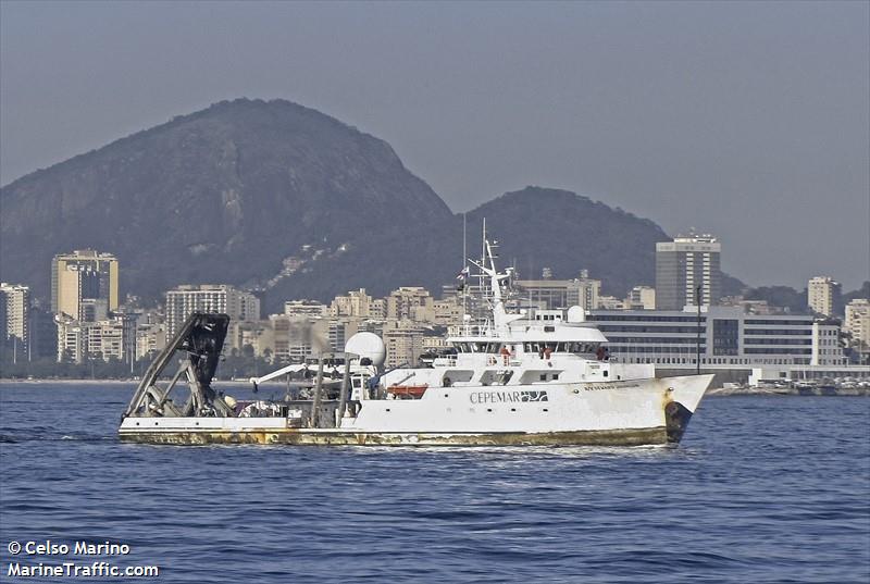 Seward Johnson | 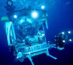 Johnson Sea-link |
| Title | Survey Equipment | Description |
|---|---|---|
| Cruise report | (document not focused on specific equipment) | Chief Scientist's cruise report with ship, personnel, equipment and data acquisition notes, submersible dive log and sediment sample locations, plus cruise report from NMFS juvenile fish survey aboard the CHAPMAN, August 1-12, 1989 on Georges Bank. |
| Survey Equipment | Survey Info | Data Type(s) | Data Collected |
|---|---|---|---|
| Camera- deep sea | --- | Photo | |
| Video camera - deep sea | --- | Video | |
| Push corer (wh) | --- | Biology Geology | 1989-023-FA-SC-001 (DREDGE, GRAB samples) |
| Loran-C | --- | Navigation |
