Other ID: ERDA-90-1, LEG 2 H-90-1
Status: Completed
Organization(s): USGS, Woods Hole Coastal and Marine Science Center
Funding Program(s):
Principal Investigator(s): David Nichols
Affiliate Investigator(s): Jack Kindinger, USGS
Information Specialist(s):
Data Type(s): Seismics: Boomer, Seismics: Sub Bottom Profiler, Location-Elevation: Navigation
Scientific Purpose/Goals: Collect nearshore high-resolution seismics as part of ongoing coastal geologic framework studies in state cooperative projects.
Vehicle(s):
Start Port/Location: Bayou Caddy Marina, Waveland, MS
End Port/Location: Bayou Caddy Marina, Waveland, MS
Start Date: 1990-06-13
End Date: 1990-06-17
Equipment Used: GeoPulse uniboom, Single channel hydrophone, GPS (wh), Loran-C
Information to be Derived:
Summary of Activity and Data Gathered: 6 rolls seismic data; 18 magnetic data tapes for entire cruise (all legs).
Staff: David Nichols
Affiliate Staff:
Lyle McGinnis
Argonne National Labs
DOE
Notes: Also see Field Activities 90008 and 90011.
Project = MS-AL-USGS Co-op, MS-AL-USGS Co-op
Location:
Hancock County, Mississippi, Louisiana, Mississippi Sound, Gulf of Mexico, United States, North America, North Atlantic;
| Boundaries | |||
|---|---|---|---|
| North: 30.3 | South: 30.05 | West: -89.67 | East: -89.16 |
Platform(s):
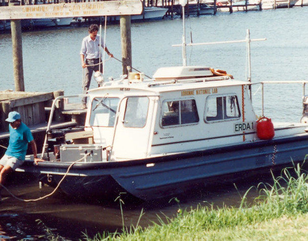 Erda-1 |
| Title | Survey Equipment | Description |
|---|---|---|
| Cruise report | (document not focused on specific equipment) | Chief Scientist's cruise report including personnel, purpose, equipment, tabulated information, and trackmap. |
| Survey Equipment | Survey Info | Data Type(s) | Data Collected |
|---|---|---|---|
| GeoPulse uniboom | --- | Boomer | |
| Single channel hydrophone | --- | Air Gun / Water Gun Boomer Bubble Gun Sparker Sub Bottom Profiler | |
| GPS (wh) | --- | Navigation | |
| Loran-C | --- | Navigation |
