Other ID: KIT JONES 92-1, 92-2 and 92-3 (Legs 1, 2 and 3)
Status: Completed
Organization(s): USGS, Woods Hole Coastal and Marine Science Center
Funding Program(s):
Principal Investigator(s): Dana Wiese
Affiliate Investigator(s): Randy McBride, Louisiana Geological Survey
Information Specialist(s):
Data Type(s): Seismics: Boomer, Seismics: Bubble Gun, Sonar: Single Beam, Seismics: Sub Bottom Profiler, Location-Elevation: Navigation
Scientific Purpose/Goals: To explore for hard mineral resources using high-resolution seismic data and to test new seismic technologies (Elics Delph 1 digital acquisition system).
Vehicle(s):
Start Port/Location: Panama City Marina, Panama City, FL
End Port/Location: Pensacola, FL
Start Date: 1992-07-08
End Date: 1992-07-20
Equipment Used: Bubble pulse, Innerspace Technology 25-element hydrophone, Odom Digitrace 200kHz, 3.5 kHz, Raytheon DE-719 precision echo sounder, Benthos AQ-4 10-element hydrophone streamer, Magellan PRO 1000 GPS, Trimble 4000AX GPS receiver, Northstar 6000 LORAN-C, Loran-C
Information to be Derived:
Summary of Activity and Data Gathered: Seismic tracklines: 73; Seismic rolls: 25; Fathometer rolls: 20; Cores: 3.
Staff:
Affiliate Staff:
Randy McBride
Ch. Sci. - Louisiana Geological Survey (LGS); Doug Lockhart
Eng. - Marine Minerals Technology Center (MMTC); Dana Wiese
Elect. Tech. - USGS; Monty Simmons
Captain (Legs 1 and 2) - MMTC; Harold (Lang) Norris
Contracted Mate (Legs 1 and 3) - MMTC; Bob Shelton
Captain (Leg 3)
Mar. Tech. Sup. (Legs 2 and 3) - MMTC.
Notes: Leg 1: July 8-12, 1992; Leg 2: July 13-17, 1992; Leg 3: July 17-20, 1992.
From Foghorn: Delph 1 Seismic Acq. System; Bubble Pulser sound source; power supply; analog receiver; tow cable; ITI hydrophone; Geologger plotter; Magellan GPS; Odom Digitrace; Dapnav II software; Trimble GPS receiver; LORAN-C; Raytheon PTR seismic transceiver; GeoPulse receiver; 3.5 kHz sled; Hunter sled (seaotter); EPC 3200 recorder; Raytheon DE719c Fathometer; Benthos hydrophone.
?Is Hunter sled a Huntec? leaving boomer as is.
Location:
offshore Apalachicola Bay (Legs 1 and 2), offshore Pensacola Bay (Leg 3), Florida, Gulf Shores, Alabama, Cape St. George Shoals, Little St. George Island, Government Cut, Gulf of Mexico, United States, North America, North Atlantic;
| Boundaries | |||
|---|---|---|---|
| North: 30.352 | South: 29.248 | West: -87.684 | East: -84.621 |
Platform(s):
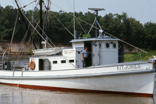 Kit Jones |
Bosse, S.T., Flocks, J.G., Forde, A.S., 2020, Archive of digitized analog boomer seismic reflection data collected from the Northern Gulf of Mexico: 1982, 1985, 1989, 1991, and 1992: U.S. Geological Survey data release, https://doi.org/10.5066/P9YA25SF.
| Survey Equipment | Survey Info | Data Type(s) | Data Collected |
|---|---|---|---|
| Bubble pulse | --- | Bubble Gun | |
| Innerspace Technology 25-element hydrophone | --- | Air Gun / Water Gun Boomer Bubble Gun Sparker | |
| Odom Digitrace 200kHz | --- | Single Beam | |
| 3.5 kHz | --- | Sub Bottom Profiler | |
| Raytheon DE-719 precision echo sounder | --- | Single Beam | |
| Benthos AQ-4 10-element hydrophone streamer | --- | Air Gun / Water Gun Boomer Sparker | |
| Magellan PRO 1000 GPS | --- | Navigation | |
| Trimble 4000AX GPS receiver | --- | Navigation | |
| Northstar 6000 LORAN-C | --- | Navigation | |
| Loran-C | --- | Navigation |
