Other ID: none
Status: Completed
Organization(s): USGS, Woods Hole Coastal and Marine Science Center
Funding Program(s):
Principal Investigator(s): David Nichols
Affiliate Investigator(s): Tom Mack - WRD Section Chief, Pembroke, NH
Information Specialist(s): David Nichols
Data Type(s): Sonar: Sidescan, Seismics: Air Gun / Water Gun, Seismics: Boomer, Seismics: Bubble Gun, Seismics: Sparker, Seismics: Sub Bottom Profiler, Sonar: Single Beam, Location-Elevation: Navigation
Scientific Purpose/Goals: Sidescan/high-resolution sub-bottom survey of Great Bay, New Hampshire, mapping groundwater discharge areas.
Vehicle(s):
Start Port/Location: Portsmouth, NH
End Port/Location: Portsmouth, NH
Start Date: 1998-11-16
End Date: 1998-11-20
Equipment Used: Edgetech DF-1000 sidescan sonar, ISIS, Elics Data Acquisition System, ORE 140 transceiver/1036 transducer sub-bottom profiler, ODOM 200 kHz depth recorder, P-code GPS
Information to be Derived: Sea floor map;
Summary of Activity and Data Gathered: Thirteen lines of sidescan collected in ISIS Qmips format. Seven lines of seismic collected in SEGY format on Jazz. All navigation data recorded on floppy. Sidescan tapes (1-3) and navigation floppy stored in Woods Hole. Jazz drive recordings and all hard copy data given to Tom Mack, USGS-WRD. Barry Irwin processing navigation data to provide trackline chart. ISIS Log stored in Woods Hole and copy sent to Tom Mack. Sidescan sonar: 150 km (13 lines); 3.5kHz: ? km (7 lines).
Staff: David Nichols
Affiliate Staff:
Tom Mack - Geohydrologic Section Chief
NH/VT District
Pembroke
NH - PI
Notes:
Location:
Great Bay, New Hampshire, United States, North America, North Atlantic;
| Boundaries | |||
|---|---|---|---|
| North: 43.1 | South: 43.05 | West: -70.95 | East: -70.85 |
Platform(s):
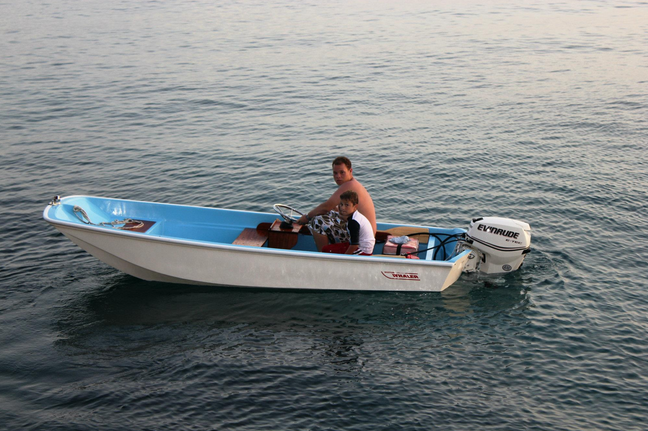
 Whaler |
| Title | Survey Equipment | Description |
|---|---|---|
| Geophysics log | (document not focused on specific equipment) | Sidescan sonar and 3.5 kHz logbook containing line and file start and end times, comments. |
| Survey Equipment | Survey Info | Data Type(s) | Data Collected |
|---|---|---|---|
| Edgetech DF-1000 sidescan sonar | --- | Sidescan | |
| ISIS | --- | Sidescan | |
| Elics Data Acquisition System | --- | Air Gun / Water Gun Boomer Bubble Gun Sparker | |
| ORE 140 transceiver/1036 transducer sub-bottom profiler | --- | Sub Bottom Profiler | |
| ODOM 200 kHz depth recorder | --- | Single Beam | |
| P-code GPS | --- | Navigation |