Other ID: J-1-08-PR
Status: Completed
Organization(s): USGS, Woods Hole Coastal and Marine Science Center
Funding Program(s):
Principal Investigator(s): Jason Chaytor, Uri Ten Brink
Affiliate Investigator(s): Jason Chaytor - WHOI
Information Specialist(s): Jason Chaytor
Data Type(s): Location-Elevation: Navigation, Seismics: Sub Bottom Profiler, Sampling: Geology
Scientific Purpose/Goals: The objective of this coring cruise is to determine the age of several significant slope failures and seismite layers around Puerto Rico in an effort to constrain the temporal distribution of large slope failures and earthquakes. Large landslide and earthquake events in close proximity to Puerto Rico and the U.S. Virgin Islands are believed to have triggered numerous tsunami, which have caused significant damage to coastal communities in the region. By better constraining the temporal occurrence of such large tsunami source mechanisms, we hope to gain a better understanding of the recurrence interval and size of future landslides, thereby providing valuable input into tsunami hazard models for the region. In order to do this, we aim to collect 30-40 cores from offshore Puerto Rico (Mona Canyon, north slope and Puerto Rico trench, and the Virgin Island and Whiting Basins) that intersect landslide or seismite deposits so as to be able to date the penultimate and potentially older landslide and/or earthquake events. This project is a collaborative effort between WHOI and the USGS Woods Hole Science Center.
Vehicle(s):
Start Port/Location: San Juan, Puerto Rico
End Port/Location: San Juan, Puerto Rico
Start Date: 2008-03-16
End Date: 2008-03-24
Equipment Used: Gravity corer, 3.5 kHz, DGPS
Information to be Derived:
Summary of Activity and Data Gathered: During the 9 days at sea, 40 gravity cores were attempted in basins to the northwest of Puerto Rico, south of the U.S. Virgin Islands, within the Puerto Rico trench, and the south and north slopes offshore Puerto Rico. Over 24 m of core were recovered from 21 successful deployments, in addition to numerous smaller samples recovered from the corer when only partial sediment penetration occurred.
Staff: Matthew Arsenault, Sandy Baldwin, Brian Buczkowski, Michael Casso, Jason Chaytor, Claudia Flores, Emily Himmelstoss, Katherine McMullen, Uri Ten Brink
Affiliate Staff:
Jim Broda
WHOI
Coring Technician
Notes: Project = Tsunami Hazards: Dev. of Source Potential, Tsunami Hazards: Dev. of Source Potential
Information from Foghorn: WHOI Giant Gravity Corer;3.5 kHz echo sounder;
Location:
Mona Canyon, Puerto Rico Trench, Puerto Rico, the Virgin Islands, Virgin Islands Basin, Whiting Basin, United States, northeast Caribbean, North Atlantic;
| Boundaries | |||
|---|---|---|---|
| North: 18.04819477 | South: 17.6965172 | West: -66.2888 | East: -65.72446018 |
Platform(s):
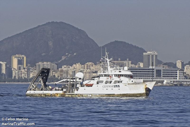 Seward Johnson |
Chaytor, J.D., and ten Brink, U.S., 2014, Event sedimentation in low-latitude deep-water carbonate basins, Anegada passage, northeast Caribbean: Basin Research v. 27, issue 3, https://doi.org/10.1111/bre.12076.
Hoy, S.K., Chaytor, J.D., and ten Brink, U.S., 2014, Core data from offshore Puerto Rico and the U.S. Virgin Islands: U. S. Geological Survey Open-File Report 2014-1227, https://doi.org/10.3133/ofr20141227.
| Survey Equipment | Survey Info | Data Type(s) | Data Collected |
|---|---|---|---|
| Gravity corer | --- | Geology | 2008-008-FA-SC-001 (J. Chaytor's SJHN08008 data set: 21 gravity cores plus some partial cores and bagged samples; each sample identified by SJHN08008 (or SJ8) + core # (assigned by B. Buczkowski).) |
| 3.5 kHz | --- | Sub Bottom Profiler | |
| DGPS | --- | Navigation |
