Other ID: none
Status: Completed
Organization(s): USGS, Woods Hole Coastal and Marine Science Center
Funding Program(s):
Principal Investigator(s): Christopher Sherwood
Affiliate Investigator(s):
Information Specialist(s): Patrick Dickhudt
Data Type(s): Location-Elevation: Navigation, Time Series: Mooring (physical oceanography), Sonar: Sidescan
Scientific Purpose/Goals: Maps small cove on Connecticut River with autonomous kayak
Vehicle(s):
Start Port/Location: Essex, CT
End Port/Location: Essex, CT
Start Date: 2013-08-13
End Date: 2013-08-16
Equipment Used: DGPS, GPS (wh), Pressure, Sidescan sonar
Information to be Derived: Sea floor map;Bathymetric maps;
Summary of Activity and Data Gathered:
Staff: Jonathan Borden, Jane Denny, Patrick Dickhudt, Sara Goheen
Affiliate Staff:
Notes:
Project = WHOI/Frontogenesis & Fine Sed. Trapping,
Location:
Autonomous kayak
| Boundaries | |||
|---|---|---|---|
| North: 41.39845 | South: 41.26129 | West: -72.4397 | East: -72.28729 |
Platform(s):
Knob | 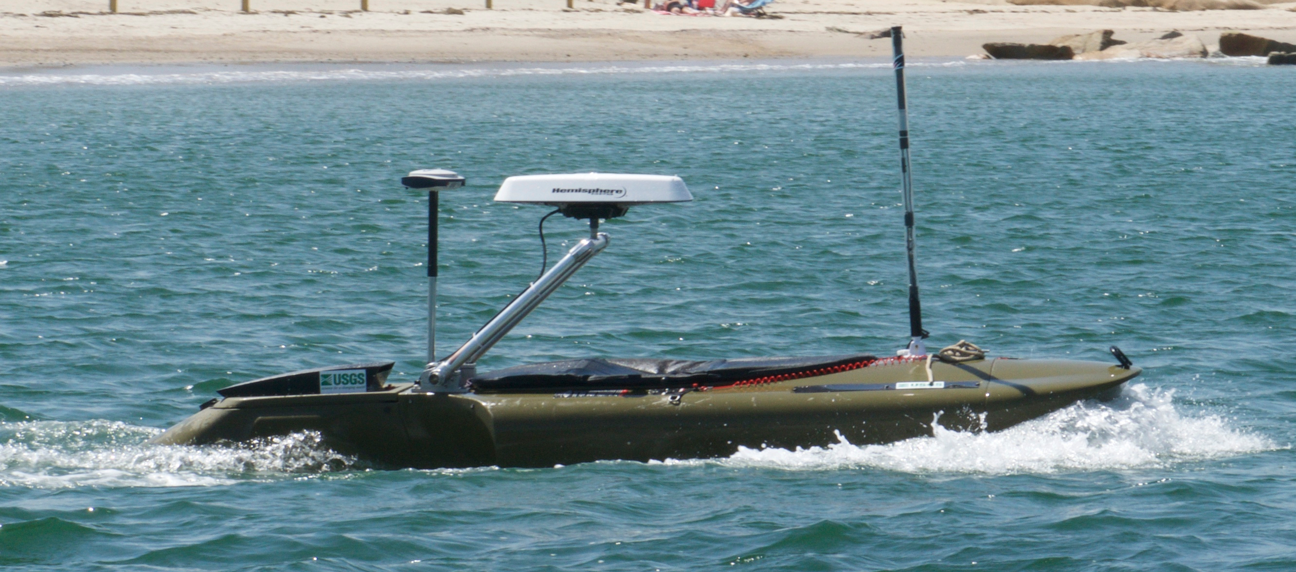 Jetyak-WHCMSC |
| Survey Equipment | Survey Info | Data Type(s) | Data Collected |
|---|---|---|---|
| DGPS | --- | Navigation | |
| GPS (wh) | --- | Navigation | |
| Pressure | --- | Mooring (physical oceanography) | |
| Sidescan sonar | --- | Sidescan |
