Other ID: MV1311
Status: Completed
Organization(s): USGS, Woods Hole Coastal and Marine Science Center
Funding Program(s):
Principal Investigator(s): Daniel Brothers
Affiliate Investigator(s): Jared Kluesner UC Santa Cruise
Information Specialist(s): Daniel Brothers
Data Type(s): Sonar: Multibeam, Location-Elevation: Navigation
Scientific Purpose/Goals: Bathymetric mapping of the Gulf of Santa Catalina offshore southern California.
Vehicle(s):
Start Port/Location: Dana Point
End Port/Location: San Diego
Start Date: 2013-08-30
End Date: 2013-09-02
Equipment Used: Simrad EM120, DGPS
Information to be Derived: Sea floor map;Bathymetric maps;Morphology;
Summary of Activity and Data Gathered: EM122 multibeam bathymetry data collected aboard the R/V Melville. Mapped submarine channels, faults, canyons.
Staff:
Affiliate Staff:
Notes: Cruise aboard R/V Melville, cruise ID: MV1311
Project = Marine Geohazards/Source Eval,
Location:
Los Angeles, California, United States, North America, North Pacific;,
| Boundaries | |||
|---|---|---|---|
| North: 28.5604 | South: 23.5604 | West: -125.4858 | East: -120.48584 |
Platform(s):
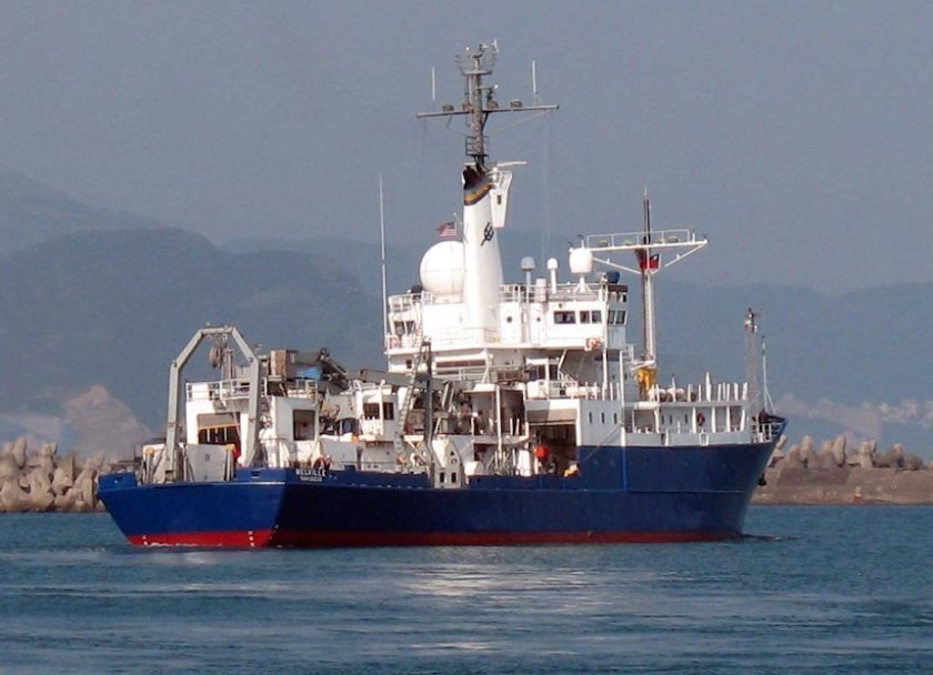 Melville |
| Survey Equipment | Survey Info | Data Type(s) | Data Collected |
|---|---|---|---|
| Simrad EM120 | --- | Multibeam | |
| DGPS | --- | Navigation |
