Skip USGS links group
USGS - science for a changing world
NOAA logo with link to NOAA home page

Woods Hole Science Center

End of USGS links group
U.S. Geological Survey Data Series 99, Version 1.0

A GIS Library of Multibeam Data for Massachusetts Bay and the Stellwagen Bank National Marine Sanctuary, Offshore of Boston, Massachusetts, USGS DS 99; Version 1.0


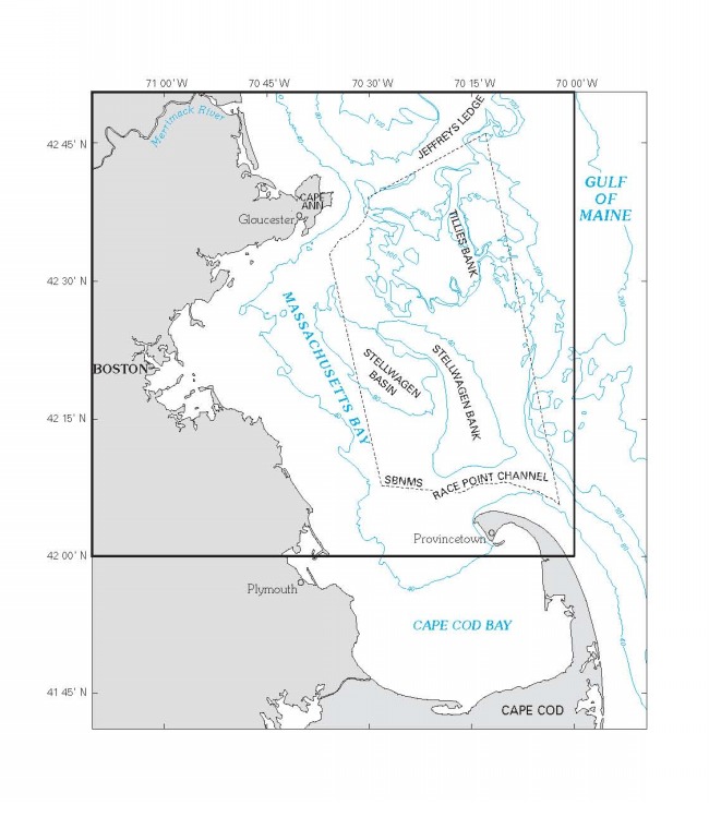
Figure 5. Boundary of 1:125,000 scale map of Massachusetts Bay.

PDF format

Figure 5.  Boundaries of Stellwagen Bank and western Massachusetts Bay.

Jump to top of page
Return to Mass Bay Page.

Download Adobe Reader to read PDF documents.


Any use of trade names is for descriptive purposes only and does not imply endorsement by the U.S. Government.


Skip Navigation

Accessibility FOIA Privacy Policies and Notices

U.S. Department of the Interior | U.S. Geological Survey | Coastal and Marine Geology

URL: cmgds.marine.usgs.gov/publications/ds-99/webpages/fig5.html
Page Contact Information: CMGDS Team
Page Last Modified: Wednesday, 06-Dec-2017 11:27:13 EST