Skip USGS links group
U.S. Geological Survey - science for a changing world
CZM logo with link to CZM home page

Woods Hole Science Center

End of USGS links group

OFR 2005-1048 Home / Introduction / Geologic Setting / GIS Data Catalog / Bottom Photographs

Skip title; go to table of contents

U.S. Geological Survey Open-File Report 2005-1048

Geological Interpretation of Bathymetric and Backscatter Imagery of the Sea Floor Off Eastern Cape Cod, Massachusetts


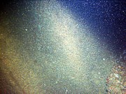
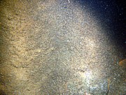
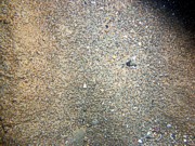
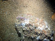
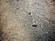
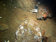
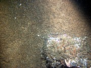
R/V RAFAEL 04011 Bottom Photos

STATION: CC53

Go to previous station Previous Station  Next Station Go to next station
Boulders, sand, large ripples, scattered shell debris, starfish, lobsters.
PICT0722
Boulders, sand, large ripples, scattered shell debris, starfish, lobsters.
PICT0723
Boulders, sand, large ripples, scattered shell debris, starfish, lobsters.
PICT0724
Boulders, sand, large ripples, scattered shell debris, starfish, lobsters.
PICT0725
Boulders, sand, large ripples, scattered shell debris, starfish, lobsters.
PICT0726
Boulders, sand, large ripples, scattered shell debris, starfish, lobsters.
PICT0727
Boulders, sand, large ripples, scattered shell debris, starfish, lobsters.
PICT0728

Boulders, sand, large ripples, scattered shell debris, starfish, lobsters.

Go to previous station Previous Station  Next Station Go to next station

Skip footer Table of Contents; Go to Footer OFR 2005-1048 Home / Introduction / Geologic Setting / GIS Data Catalog / Bottom Photographs

Skip Navigation

Accessibility FOIA Privacy Policies and Notices

U.S. Department of the Interior | U.S. Geological Survey | Coastal and Marine Geology

URL: cmgds.marine.usgs.gov/publications/of2005-1048/htmldocs/stations/cc053.htm
Page Contact Information: CMGDS Team
Page Last Modified: Wednesday, 06-Dec-2017 12:35:17 EST