USGS Coastal and Marine Geology Program
Title Page /
Table of Contents /
List of Figures /
Introduction /
Maps / Data Collection/Processing / Interpretation / Acknowledgments / Appendix 1 / Appendix 2 /
Appendix 3 /
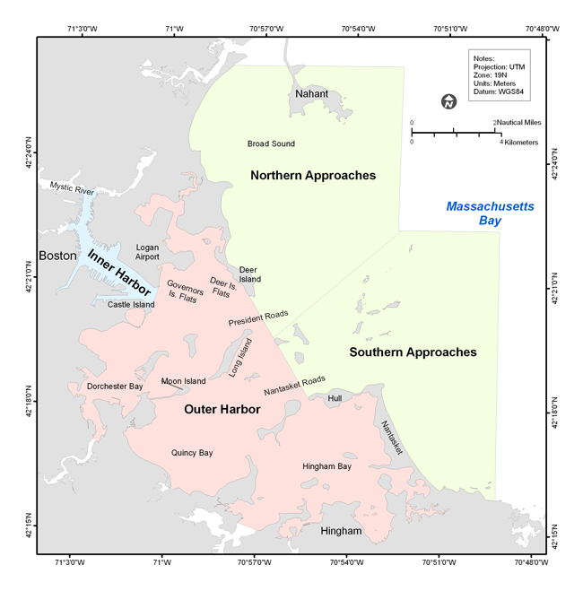 | ||
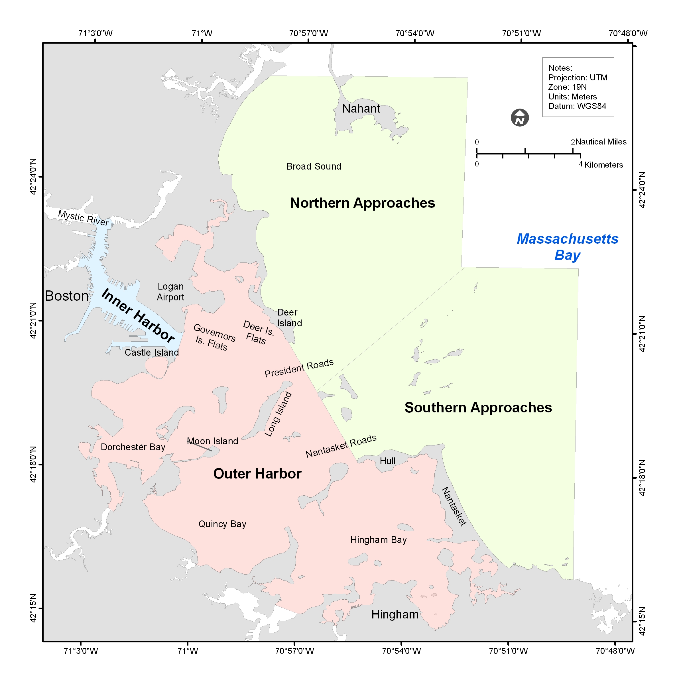
Figure 4.1. Map showing Boston Inner Harbor, Outer Harbor, and the Northern and Southern Approaches. | ||
