
Woods Hole Science Center
![]() Title |
Introduction |
Setting |
Methods |
Overview |
Interpretation |
Discussion |
Data Catalog |
Acknowledgments |
References |
Figures |
Bottom Photographs |
Sediment Data |
Contacts
Title |
Introduction |
Setting |
Methods |
Overview |
Interpretation |
Discussion |
Data Catalog |
Acknowledgments |
References |
Figures |
Bottom Photographs |
Sediment Data |
Contacts
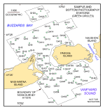 |
| Figure 14. Map showing the station locations used to verify the acoustic data with bottom sampling and photography during the RAFAEL 05007 cruise. |
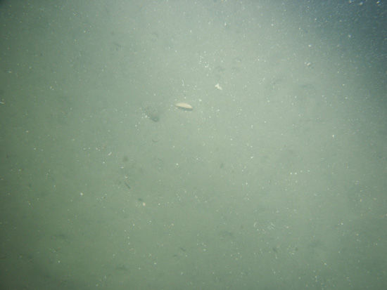
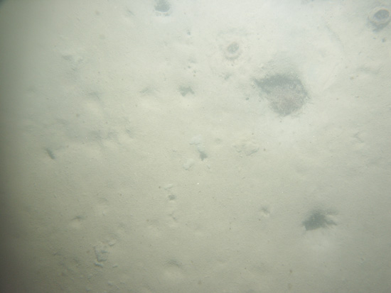
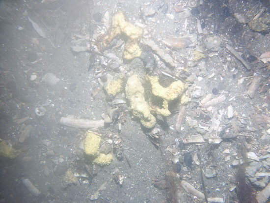
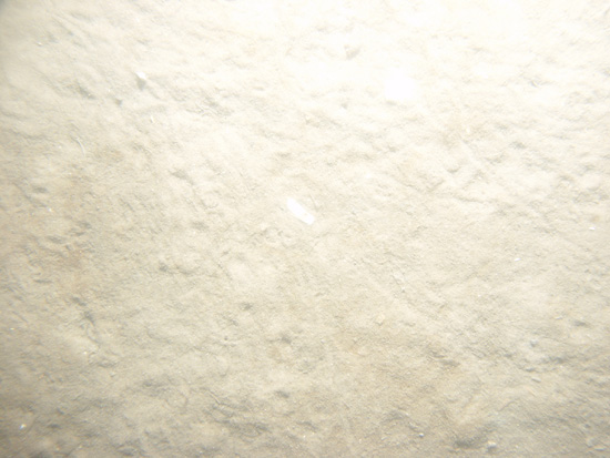
| QH1 / Muddy sand with scattered boulders, shell debris, seaweed, and yellow sponges. Burrows are common; a thin layer of mud coats much of the bottom. | |||
 PICT0067 | 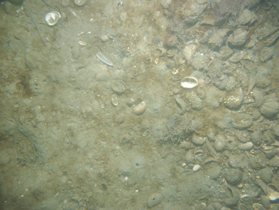 PICT0068 |  PICT0069 | 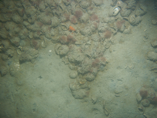 PICT0070 |
| QH2 / Muddy sand with scattered mounds. Burrows are common; scattered patches of seaweed and shell debris are present. | |||
 PICT0074 | 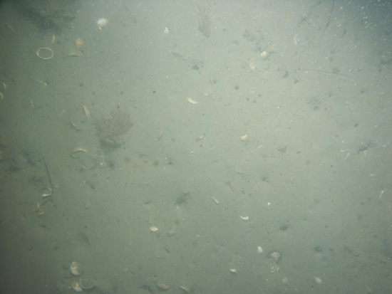 PICT0075 | 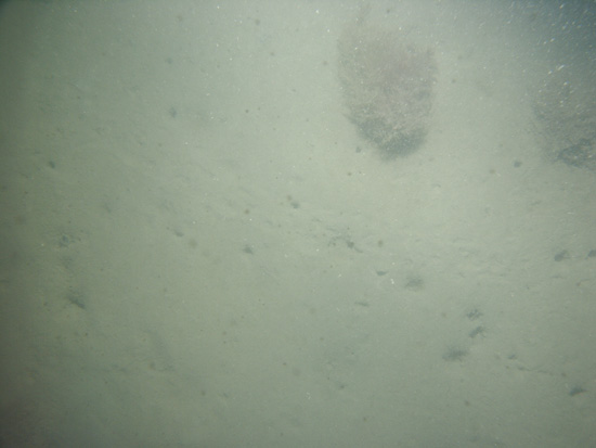 PICT0076 | 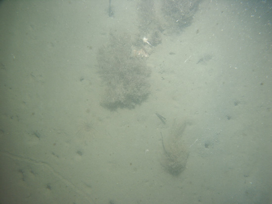 PICT0077 |
| QH3 / Faintly rippled sand with some gravel (gravel is probably shells). Amphipod tubes, worm burrows, some shell fragments and fish are present. | |||
 PICT0063 |  PICT0064 | 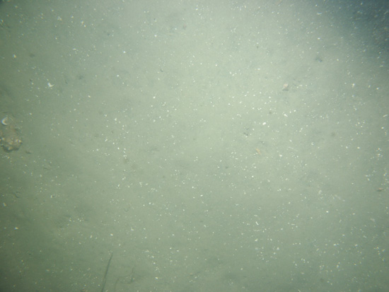 PICT0065 |  PICT0066 |
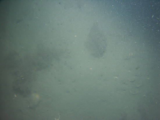
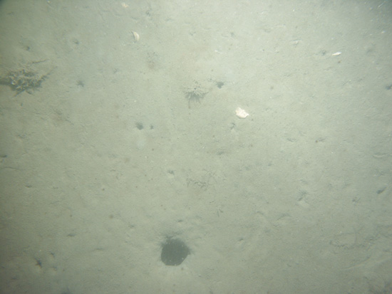
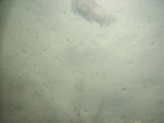
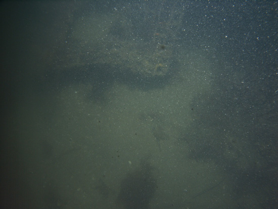
| QH4 / Smooth sea floor of muddy sand with numerous burrows and burrowing anemones. Drift across station appeared to cross a depression (trench?) that contained abundant shell fragments and drifting seaweed. Larger burrows are present along the edges of the depression. | |||
 PICT0078 | 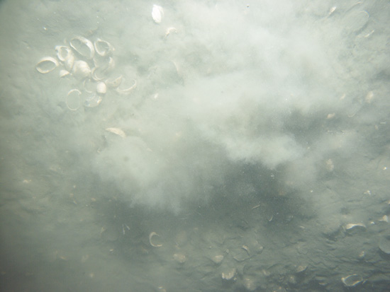 PICT0079 |  PICT0080 | 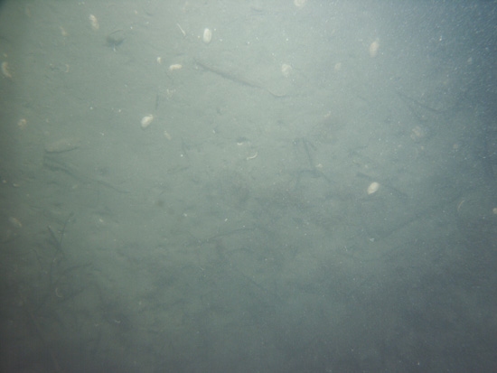 PICT0081 |
| QH5 / Smooth sea floor of muddy sand with numerous burrows (some lobster?). Drift across station appeared to cross a depression that contained abundant shell fragments and drifting seaweed. Larger burrows are present along the edges of the depression. | |||
 PICT0082 |  PICT0083 |  PICT0084 | |
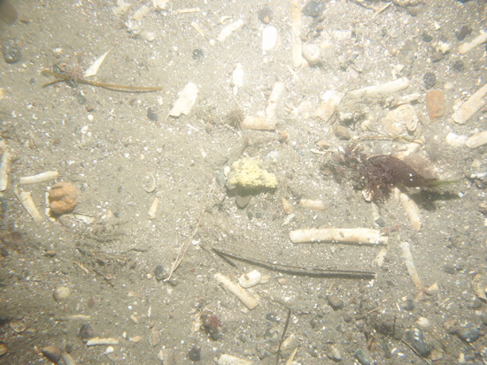
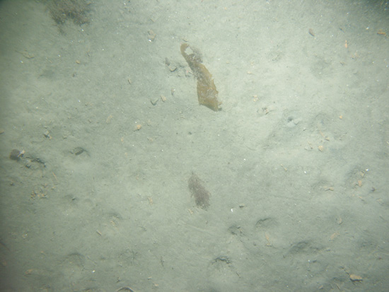
| QH6 / Muddy sea floor with burrows, sea urchins, tracks, and burrowing sea anemones. | |||
 PICT0144 |  PICT0145 | 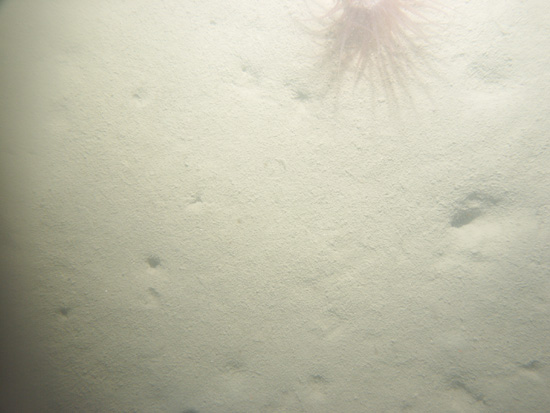 PICT0146 | 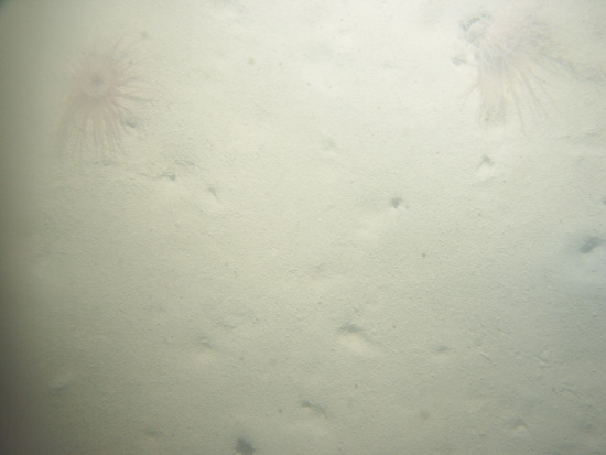 PICT0147 |
 PICT0148 | 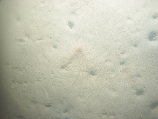 PICT0149 | ||
| QH7 / Muddy undulating bottom with burrows and tracks. Some coarse sand mixed with the finer sediment. | |||
 PICT0150 |  PICT0152 | ||
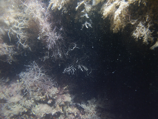
| QH8 / Boulder with abundant seaweed and intervening patches of sand. | |||
 PICT0153 | 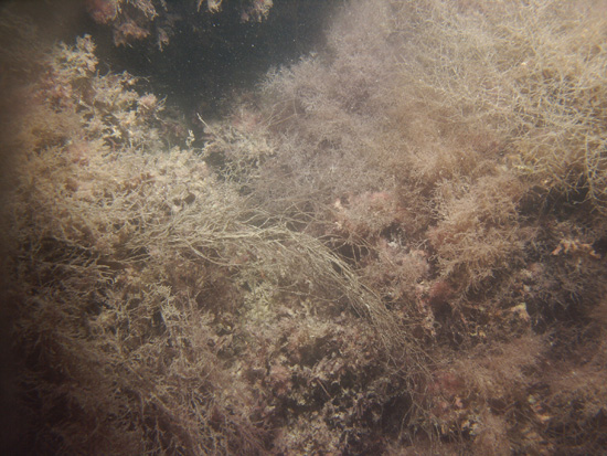 PICT0154 | 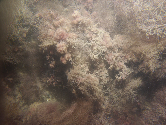 PICT0155 | 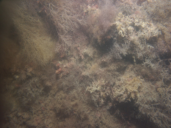 PICT0156 |
 PICT0157 |  PICT0158 | | |
| QH9 / Muddy undulating bottom with burrows, tracks, and patches of shell debris. | |||
 PICT0141 | 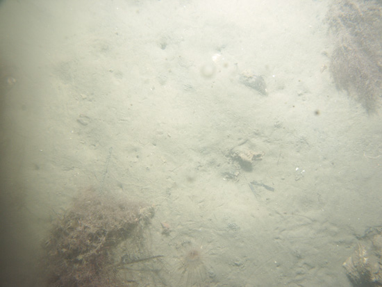 PICT0142 | 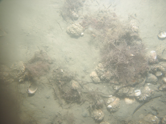 PICT0143 | |
| QH10 / Muddy flat undulating bottom with burrows, tracks, and scattered seaweed. | |||
 PICT0159 |  PICT0160 | 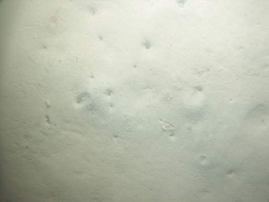 PICT0161 | 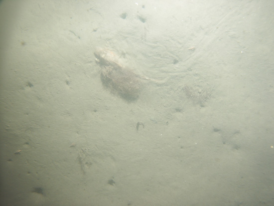 PICT0162 |
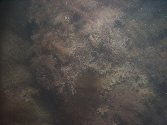
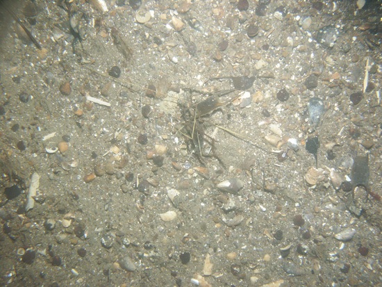
| QH11 / gravelly sand with scattered cobbles. Seaweed, lobsters and traps, kelp, and moon snail casings are present. | |||
 PICT0136 | 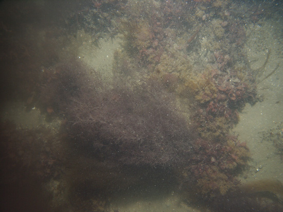 PICT0137 |  PICT0138 | 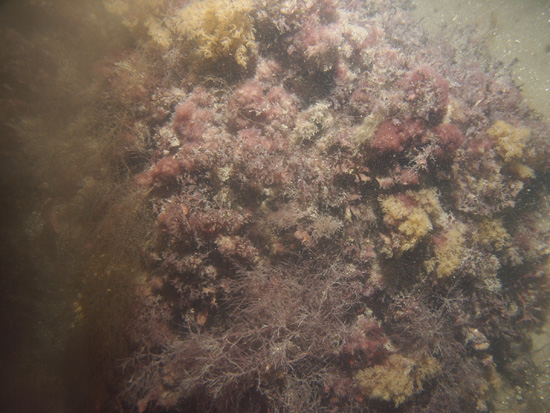 PICT0139 |
 PICT0140 | |||
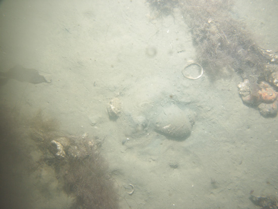
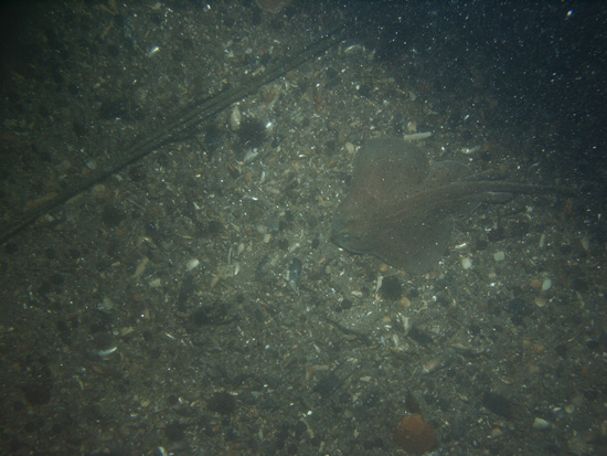
| QH12 / Sand with shell debris. Sponges, razor clam shells, skate, and moon snail casings are present. | |||
 PICT0133 | 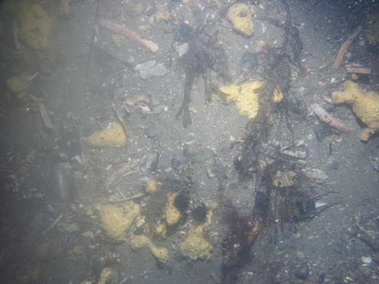 PICT0134 | 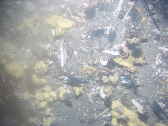 PICT0135 | |
| QH13 / Coarse sand with some gravel and shell debris (razor clam). Skates, sea urchins, a line, and moon snail casings are present. | |||
 PICT0167 | 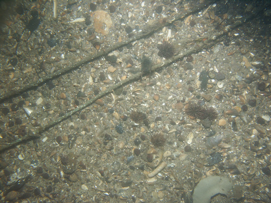 PICT0168 | 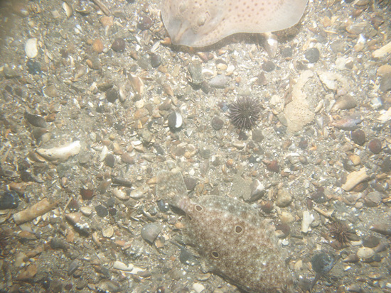 PICT0169 | 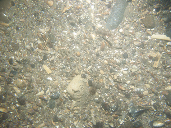 PICT0170 |
 PICT0171 | 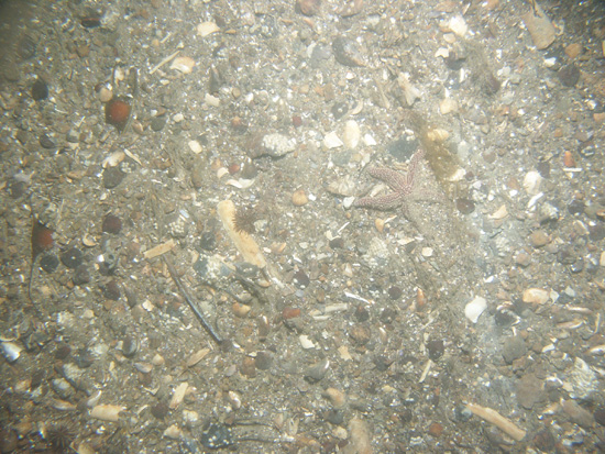 PICT0172 | ||
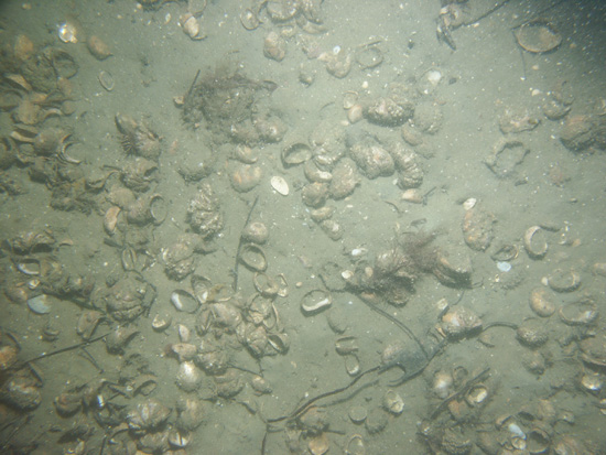
| QH14 / Gravelly sand with shell debris (quahog and razor clam). Skate and skate egg casings are present. | |||
 PICT0173 | 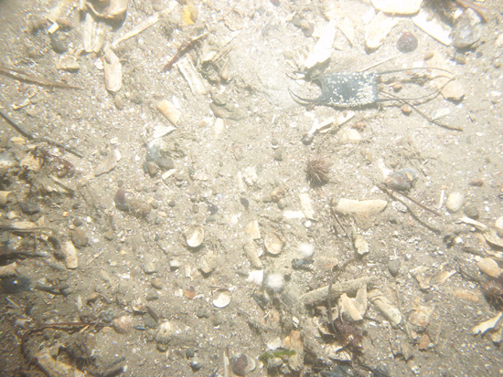 PICT0174 |  PICT0175 | 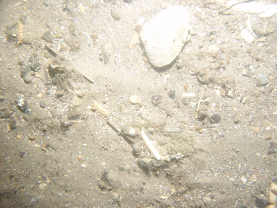 PICT0176 |
| QH15 / Sand with shell debris (quahog and razor clam). Skate and skate egg casings are present. | |||
 PICT0177 | 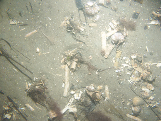 PICT0178 | 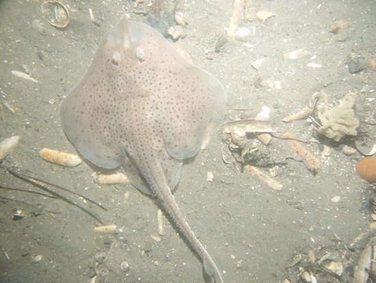 PICT0179 | 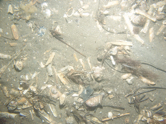 PICT0180 |
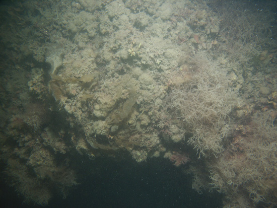
| QH16 / Sand with shell debris and scattered ahermatypic corals and seaweed. | |||
 PICT0181 | 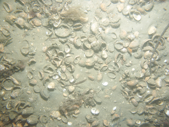 PICT0182 |  PICT0183 | |
| QH17 / Undulating bottom of faintly rippled muddy sand. Burrows are common; seaweed and shell debris are present. | |||
 PICT0194 | 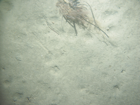 PICT0195 | 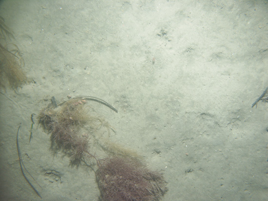 PICT0196 | |
| QH18 / Boulders overgrown with seaweed. Patches of sand and gravel occur between the boulders. | |||
 PICT0198 | 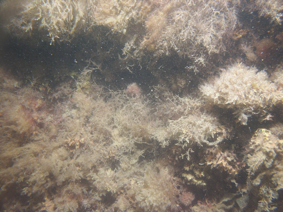 PICT0199 | 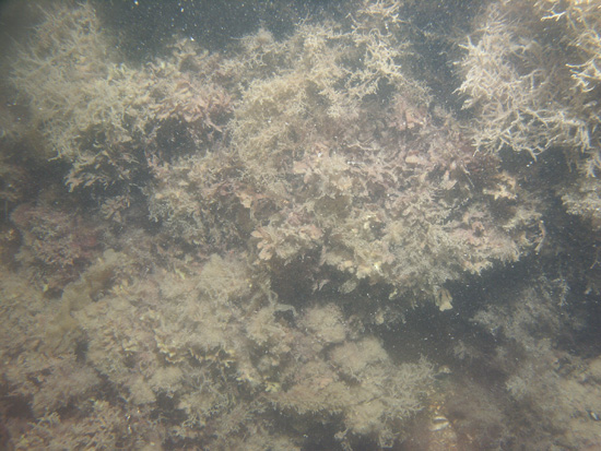 PICT0200 | 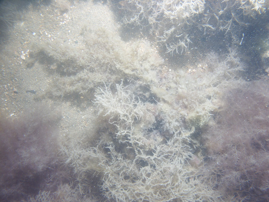 PICT0201 |
| QH19 / Muddy sand with burrows, tracks, and sparse seaweed. | |||
 PICT0202 | 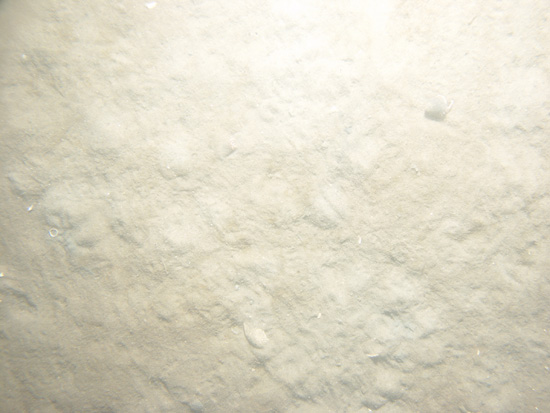 PICT0203 | 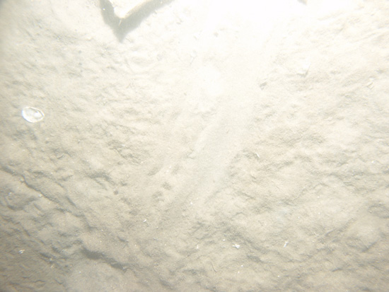 PICT0204 |  PICT0205 |
| QH20 / Muddy sand with burrows, shell debris, and widely spaced boulders. Whelk, kelp, and green and red seaweed are present. | |||
 PICT0187 |  PICT0188 | 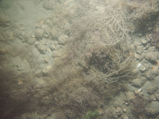 PICT0189 | 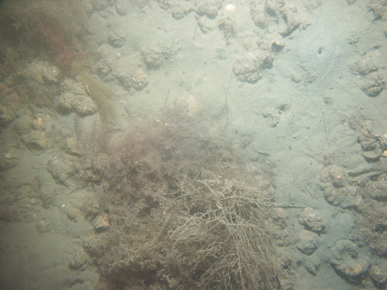 PICT0190 |
![]() Title |
Introduction |
Setting |
Methods |
Overview |
Interpretation |
Discussion |
Data Catalog |
Acknowledgments |
References |
Figures |
Bottom Photographs |
Sediment Data |
Contacts
Title |
Introduction |
Setting |
Methods |
Overview |
Interpretation |
Discussion |
Data Catalog |
Acknowledgments |
References |
Figures |
Bottom Photographs |
Sediment Data |
Contacts


