Woods Hole Science Center
Sea-Floor Character and Sedimentary Processes in the Vicinity of Woods Hole, Massachusetts
![]() Title |
Abstract |
Introduction |
Setting |
Methods |
Bathymetry and Backscatter |
Seismic Profiles |
Character and Processes |
Data Catalog |
Acknowledgments |
References |
Figures |
Bottom Photography |
Sediment Data |
Contacts
Title |
Abstract |
Introduction |
Setting |
Methods |
Bathymetry and Backscatter |
Seismic Profiles |
Character and Processes |
Data Catalog |
Acknowledgments |
References |
Figures |
Bottom Photography |
Sediment Data |
Contacts
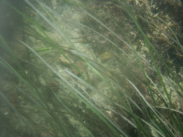
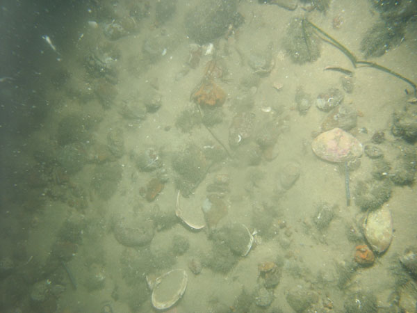
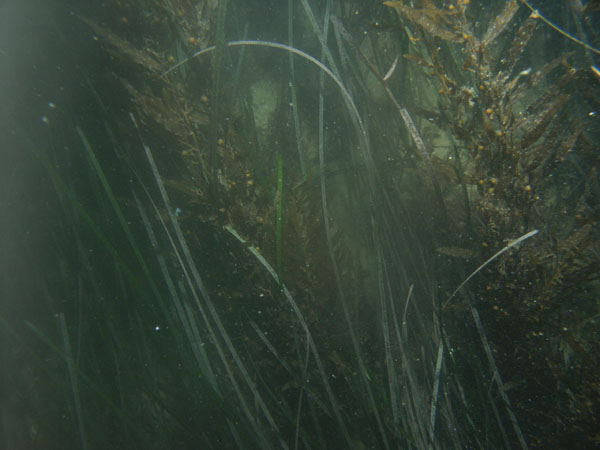
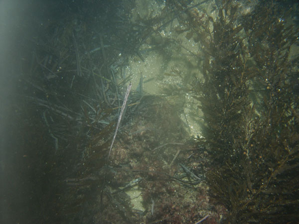
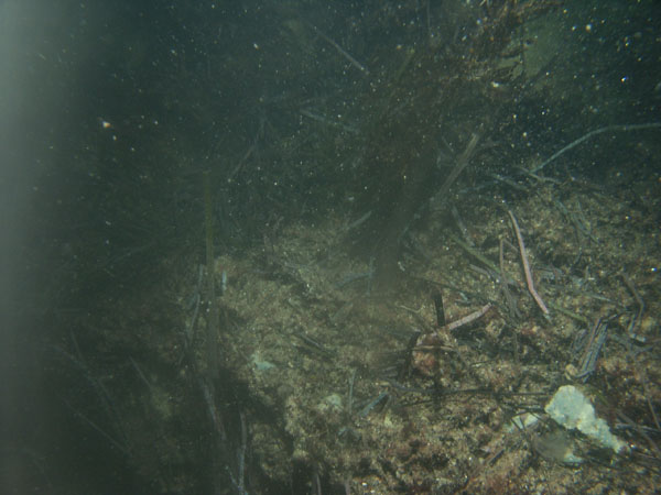
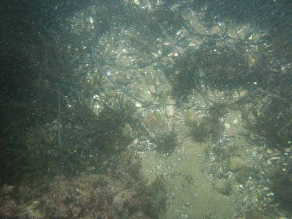
| WH1 / Boulders and attached seaweed. The seabed becomes more gravelly and sandy and densely covered with eelgrass along the drift transect. Shell debris is present. | |||
 WH1A |
 WH1B |
 WH1C |
|
 WH1D |
|
||
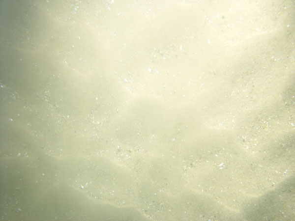
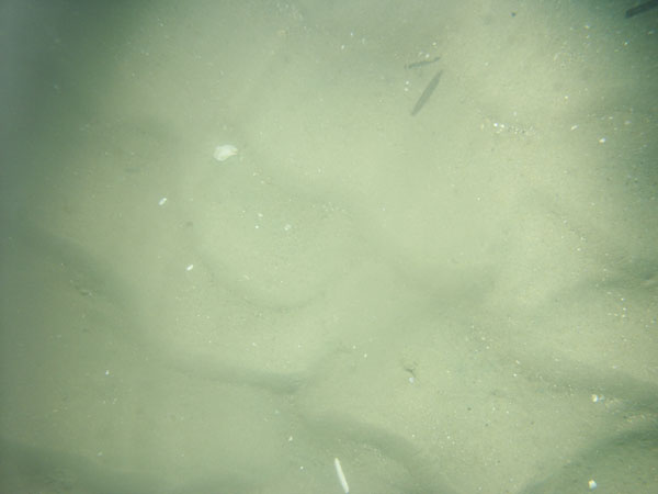
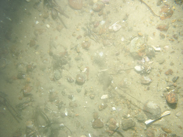
| WH2 / Sand waves covered with current ripples. Shell debris collects in the ripple troughs. Gravel-rafted seaweed is common; starfish and skate are present. | |||
 WH2A |
 WH2B |
|
|
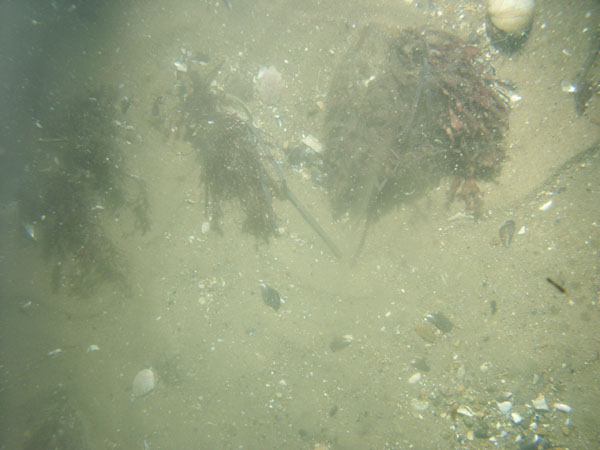
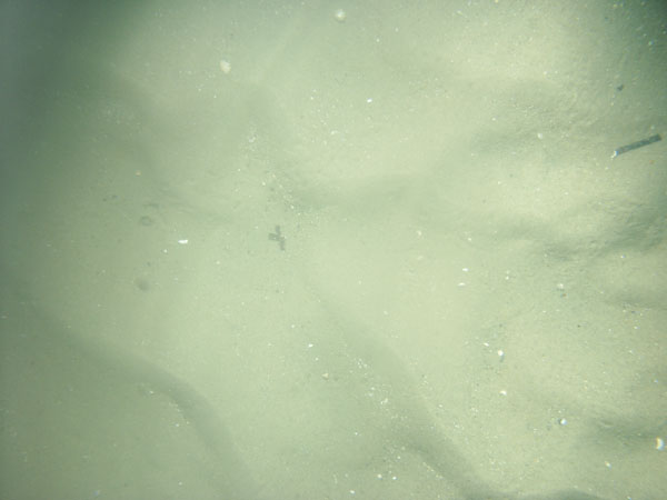
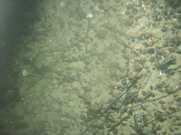
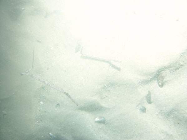
| WH3 / Sand waves covered with current ripples. Shell debris collects in the ripple troughs. Starfish are present. | |||
 WH3A |
 WH3B |
|
|
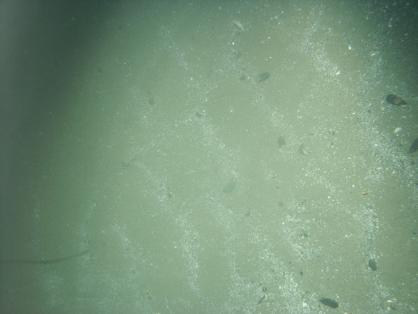
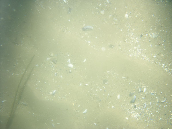
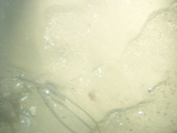
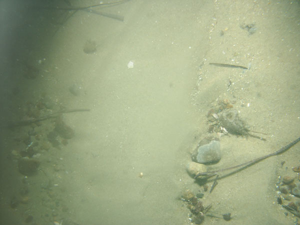
| WH4 / Rippled sand and megaripples. Shell debris is concentrated in the ripple troughs; shell debris and gravel up to cobble size are concentrated in the megaripple troughs. Attached seaweed and starfish are present. | |||
 WH4A |
 WH4B |
|
|
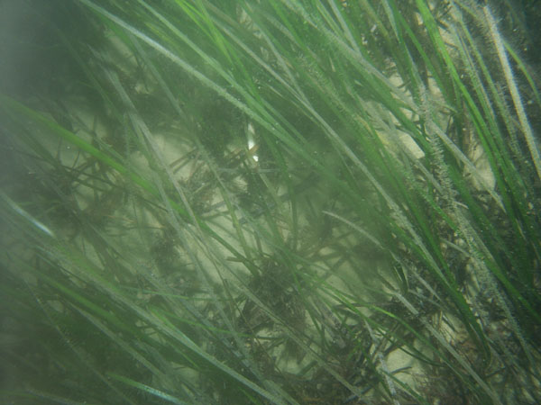
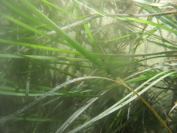
| WH6 / Rippled sand covered with eelgrass. Dead eelgrass collects in the ripple troughs. Trace of shell debris present. | |||
 WH6A |
 WH6B |
|
|
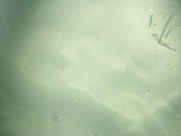
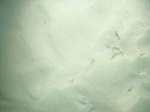
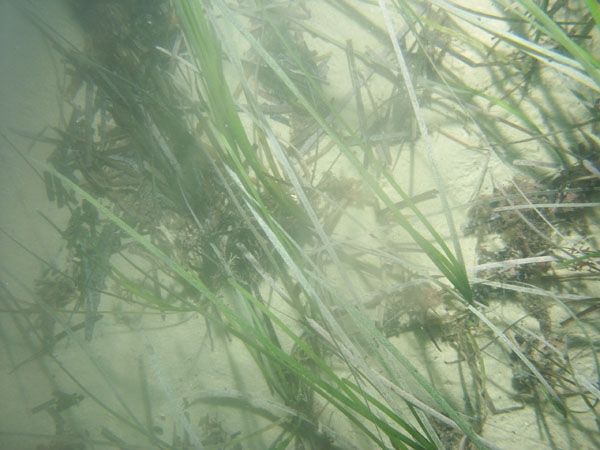
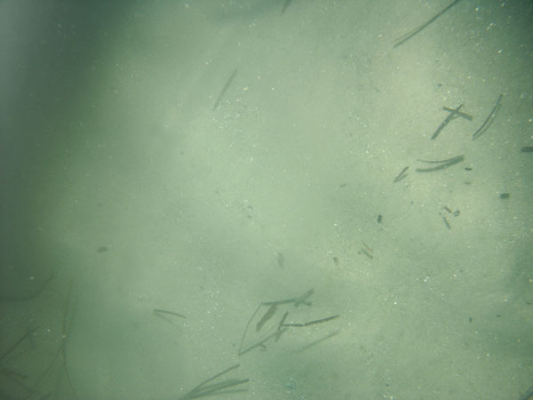
| WH7 / Rippled sand covered with eelgrass atop Nonamesset Shoal. Dead eelgrass collects in the ripple troughs. | |||
 WH7A |
 WH7B |
|
|
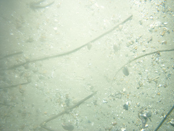
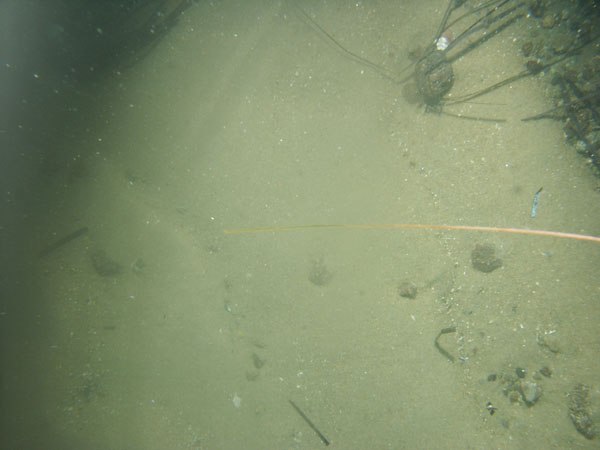
| WH9 / Sand waves covered with current ripples. Shell debris and coarser sand collects in the ripple troughs. Starfish and animal tracks (crab?) are present. | |||
 WH9A |
 WH9B |
|
|
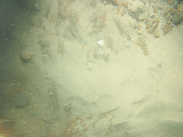
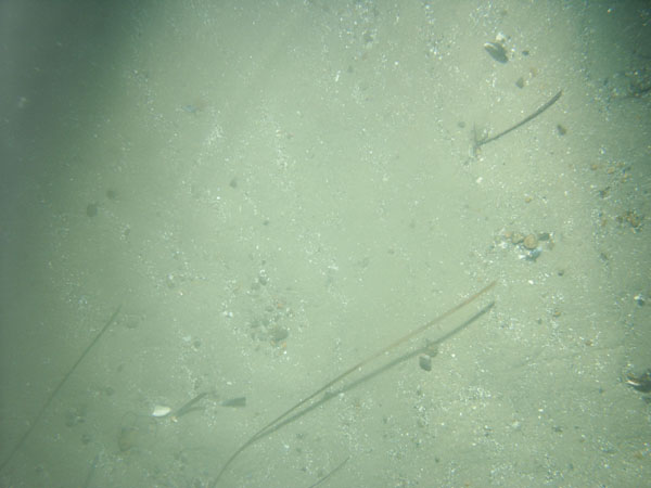
| WH10 / Sand waves covered with current ripples. Shell debris, gravel, and dead eelgrass are concentrated in the ripple troughs. Gravel in troughs coarsens northeastward along drift track to as great as cobble size. Starfish and moon snails are present. | |||
 WH10A |
 WH10B |
|
|
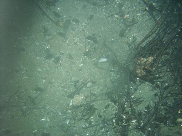
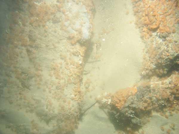
| WH11 / Boulders overgrown with seaweed and algae separated by patches of gravel and current-rippled sand. Sponges are common. | |||
 WH11A |
 WH11B |
 WH11C |
|
 WH11D |
|
||
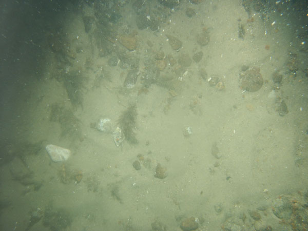
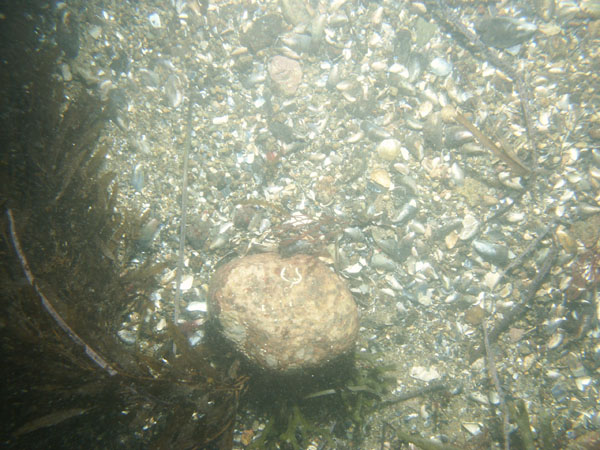
| WH12 / Patchy rippled sand and cobble-sized and finer gravel. Some seaweed and debris. Red algae commonly grows on quahog shells. | |||
 WH12A |
 WH12B |
|
|
| WH13 / Current-rippled sand waves and megaripples. Shell debris is concentrated in the bedform troughs; drifting dead seaweed is common. | |||
 WH13A |
 WH13B |
 WH13C |
|
| WH14 / Current-rippled sand waves and megaripples. Shell debris is concentrated in the bedform troughs; drifting dead seaweed is common. | |||
 WH14A |
 WH14B |
|
|
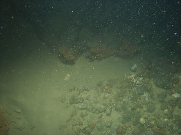
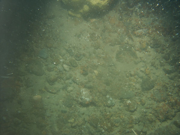
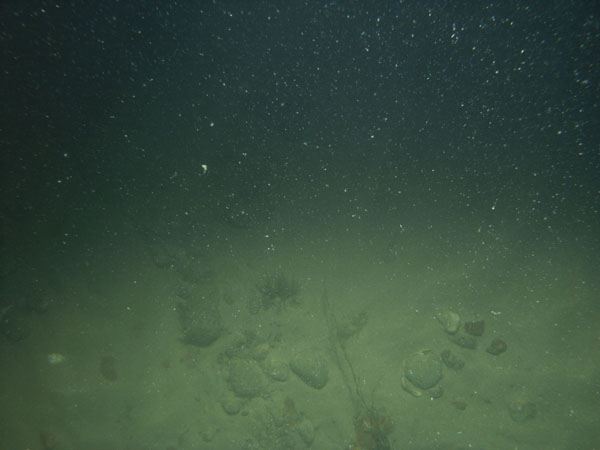
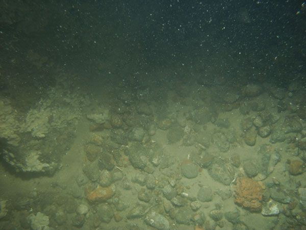
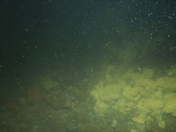
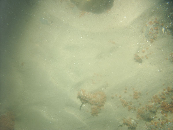
| WH15 / Gravel-armored seabed with scattered algae-encrusted boulders. Patches of current-rippled sand covering the gravel are common. Some shells and shell debris, sponges, and seaweed are present. | |||
 WH15A |
 WH15B |
 WH15C |
 WH15D |
 WH15E |
|
||
| WH16 / Gravel-armored seabed with scattered algae-encrusted boulders. Patches of current-rippled sand covering the gravel are common. Starfish, sponges, and shells (primarily quahog) are present. | |||
 WH16A |
 WH16B |
|
|
| WH17 / Gravel-armored seabed with scattered algae- and barnacle-encrusted boulders. Patches of current-rippled sand covering the gravel are common. Starfish, moon snails, seaweed, sponges and a few shells are present. | |||
 WH17A |
 WH17B |
 WH17C |
|
 WH17E |
|
||
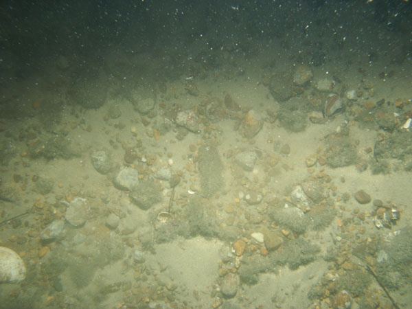
| WH18 / Sand waves with gravel concentrated in the wave troughs. Scattered shells and shell debris and sponges. Sea floor becomes more gravelly along drift track. | |||
 WH18A |
 WH18B |
|
|
| WH19 / Current-rippled sand waves and megaripples. Some shell debris is concentrated in the troughs of the bedforms. Scattered clasts of gravel being seaweed-rafted are present. | |||
 WH19A |
 WH19B |
 WH19C |
|
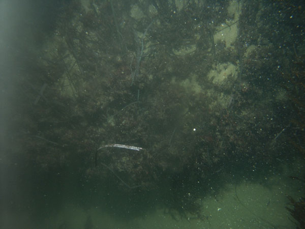
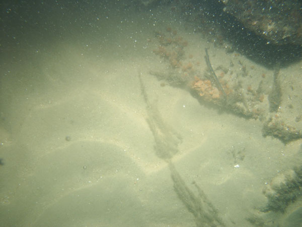
| WH20 / Boulders overgrown with seaweed and encrusting biota with intervening patches of gravel adjacent to Nobska Point. Mussel-shell debris and living seaweed are abundant. | |||
 WH20A |
 WH20B |
 WH20C |
 WH20D |
![]() Title | Abstract | Introduction | Setting | Methods | Bathymetry and Backscatter | Seismic Profiles | Character and Processes | Data Catalog | Acknowledgments | References | Figures | Bottom Photography | Sediment Data | Contacts
Title | Abstract | Introduction | Setting | Methods | Bathymetry and Backscatter | Seismic Profiles | Character and Processes | Data Catalog | Acknowledgments | References | Figures | Bottom Photography | Sediment Data | Contacts