Woods Hole Science Center
Sidescan-Sonar Imagery and Surficial Geologic Interpretations of the Sea Floor in Western Rhode Island Soundby K.Y. McMullen¹, L.J. Poppe¹, T.A. Haupt², and J.M. Crocker³ Published 2009
¹Coastal and Marine Geology Program, U.S. Geological Survey, Woods Hole, Mass. 02543 Download PDF version of this report [1.2 MB] To view files in PDF format, download free copy of Adobe Reader
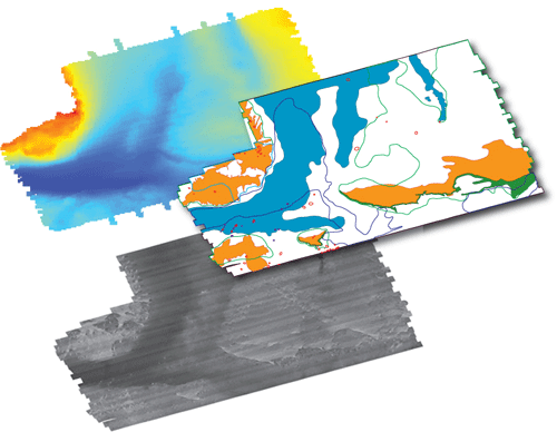
AbstractThe U.S. Geological Survey (USGS) and National Oceanic and Atmospheric Administration (NOAA) have been working together to interpret sea-floor geology along the northeastern coast of the United States. In 2004, the NOAA Ship RUDE completed survey H11322, a sidescan-sonar and bathymetric survey that covers about 60 square kilometers of the sea floor in western Rhode Island Sound. This report interprets sidescan-sonar and bathymetric data from NOAA survey H11322 to delineate sea-floor features and sedimentary environments in the study area. Paleozoic bedrock and Cretaceous Coastal Plain sediments in Rhode Island Sound underlie Pleistocene glacial drift that affects the distribution of surficial Holocene marine and transgressional sediments. The study area has three bathymetric highs separated by a channel system. Features and patterns in the sidescan-sonar imagery include low, moderate, and high backscatter; sand waves; scarps; erosional outliers; boulders; trawl marks; and dredge spoils. Four sedimentary environments in the study area, based on backscatter and bathymetric features, include those characterized by erosion or nondeposition, coarse-grained bedload transport, sorting and reworking, and deposition. Environments characterized by erosion or nondeposition and coarse-grained bedload transport are located in shallower areas and environments characterized by deposition are located in deeper areas; environments characterized by sorting and reworking processes are generally located at moderate depths. Horizontal coordinate information is referenced to the North American Datum of 1983 (NAD 83). DisclaimerAny use of brand, trade, or firm names is for descriptive purposes only and does not imply endorsement by the U.S. Government.
|