USGS Coastal and Marine Geology Program
|
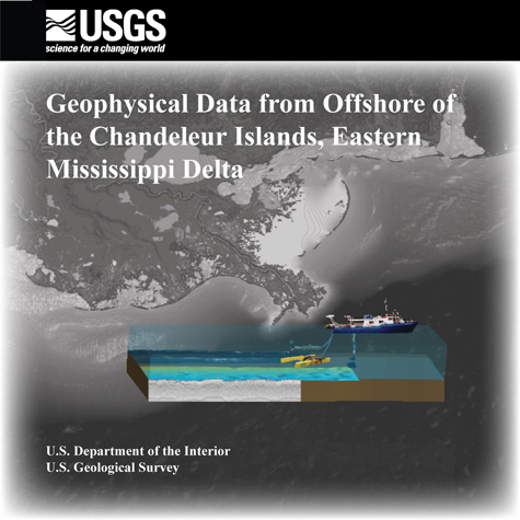
By Wayne E. Baldwin, Elizabeth A. Pendleton, and David C. Twichell Published 2009 AbstractThis report contains the geophysical and geospatial data that were collected during two cruises on the R/V Acadiana along the eastern, offshore side of the Chandeleur Islands in 2006 and 2007. Data were acquired with the following equipment: a Systems Engineering and Assessment, Ltd., SwathPlus interferometric sonar; a Klein 3000 dual-frequency sidescan sonar; and an EdgeTech 512i chirp sub-bottom profiling system. The long-term goal of this mapping effort is to produce high-quality, high-resolution geologic maps and geophysical interpretations that can be utilized to investigate the impact of Hurricane Katrina, identify sand resources within the region, and make predictions regarding the future evolution of this coastal system. DisclaimerAny use of trade, product, or firm names is for descriptive purposes only and does not imply endorsement by the U.S. Government. |