USGS Coastal and Marine Geology Program
Geophysical Data from Offshore of the Chandeleur Islands, Eastern Mississippi Delta
![]() Title Page /
Contents /
Introduction /
Data Acquisition and Processing Overview /
Geographic Information System Data Catalog /
Acknowledgments /
References Cited
Title Page /
Contents /
Introduction /
Data Acquisition and Processing Overview /
Geographic Information System Data Catalog /
Acknowledgments /
References Cited
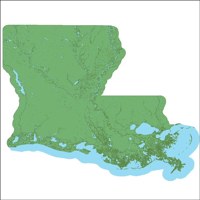
Basemap Image: Image of 2002 land-water interface in Louisiana as stored within ArcMap™ 9.2 map document. The image was published by the Louisiana Oil Spill Coordinator's Office (LOSCO). |
||
 |
||
