|
| U.S. Geological Survey Open-File Report 02-002 |
|
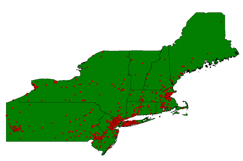
CITIES: ESRI northeast cities shapefiles for the Long Island Sound ArcView project area |
Metadata also available as: FAQ - TEXT
Please read the Environmental Systems Research Institute, Inc. (ESRI) licensing agreement at <http://www.esri.com/licenseagreement/>