
 |
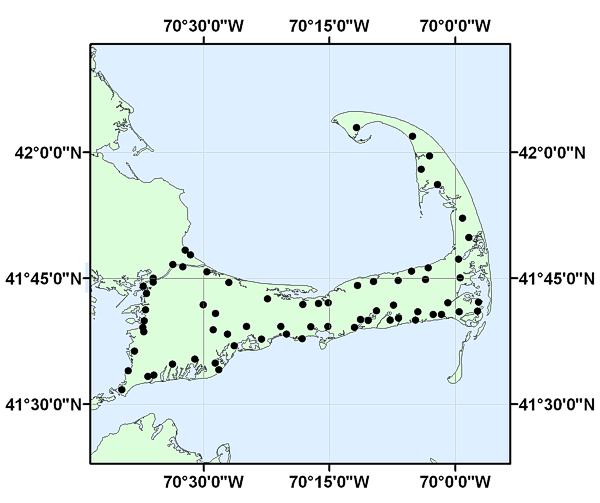
VILLAGES_GEO: Approximate location and names of villages on Cape Cod, MA |
Please recognize the Cape Cod Commission for digitization and creation of the dataset.
Any use of trade, product, or firm names is for descriptive purposes only and does not imply endorsement by the U.S. Government.