Skip USGS links group
U.S. Geological Survey - science for a changing world
CZM logo with link to CZM home page

Woods Hole Science Center

End of USGS links group

OFR 2005-1048 Home / Introduction / Geologic Setting / GIS Data Catalog / Bottom Photographs

Skip title; go to table of contents Skip title; go to table of contents

U.S. Geological Survey Open-File Report 2005-1048

Geological Interpretation of Bathymetric and Backscatter Imagery of the Sea Floor Off Eastern Cape Cod, Massachusetts
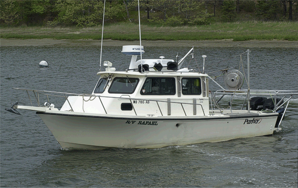

Figure 7

Figure 7: Port-side view of the USGS research vessel R/V RAFAEL.

Image shows a port-side view of the USGS research vessel R/V RAFAEL that was used to collect bottom photography and sediment samples off outer Cape Cod.


Skip footer Table of Contents; Go to Footer OFR 2005-1048 Home / Introduction / Geologic Setting / GIS Data Catalog / Bottom Photographs

Skip Navigation

Accessibility FOIA Privacy Policies and Notices

U.S. Department of the Interior | U.S. Geological Survey | Coastal and Marine Geology

URL: cmgds.marine.usgs.gov/publications/of2005-1048/htmldocs/figures/f7_rafael.htm
Page Contact Information: CMGDS Team
Page Last Modified: Wednesday, 06-Dec-2017 12:35:15 EST