
USGS Open File Report 2005-1066
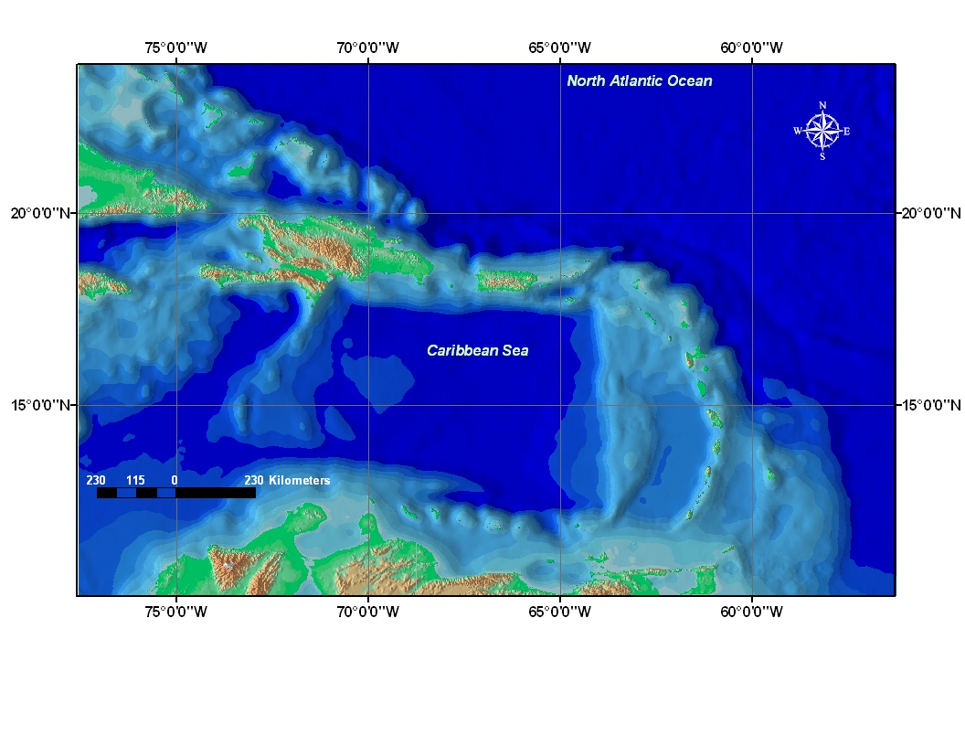 |
geo_prtbckgnd.tif - Caribbean
Regional Background Imagery of the Puerto Rico Trench Featured Data, Geographic
Coordinate System |
The second dataset is a compilation of bathymetric data provided by the British Oceanographic Data Centre in their General Bathymetric Chart of the Oceans (GEBCO) product. A wide variety of sources and scales were used by the data provider to digitize contours for use in the 1-minute grid product. Horizontal accuracy is considered to be no greater than the spatial resolution of 2000 meters. The graphical merging process, where GEBCO 1-minute data were combined with GTOPO30 topographic data, introduced additional error through exporting to a compressed JPEG image format. The JPEG format uses a lossy compression technique to reduce file size at the sacrifice of image quality.