USGS - science for a changing world

USGS Coastal and Marine Geology Program

Geologic Framework Studies of South Carolina's Long Bay from Little River Inlet to Winyah Bay, 1999 - 2003; Geospatial Data Release

Title Page / Table of Contents / Introduction / Geographic Information System / References / Acknowledgements


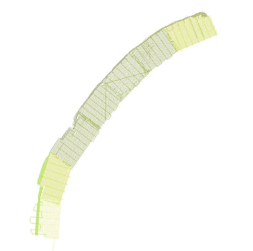
Sonar_trk: Image of the sidescan-sonar tracklines as stored within ArcGIS Map Document.


Map showing location of sidescan-sonar tracklines as stored within ArcMap Document.
Skip Navigation

Accessibility FOIA Privacy Policies and Notices

U.S. Department of the Interior | U.S. Geological Survey | Coastal and Marine Geology

URL: cmgds.marine.usgs.gov/publications/of2005-1346/html/imagepages/sonar_trk.html
Page Contact Information: CMGDS Team
Page Last Modified: Wednesday, 06-Dec-2017 12:51:25 EST