USGS Coastal and Marine Geology Program
Title Page /
Table of Contents /
List of Figures /
Introduction /
Maps /
Data Collection/Processing /
Interpretation /
Acknowledgments /
Appendix 1 /
Appendix 2 /
Appendix 3 /
 |
|
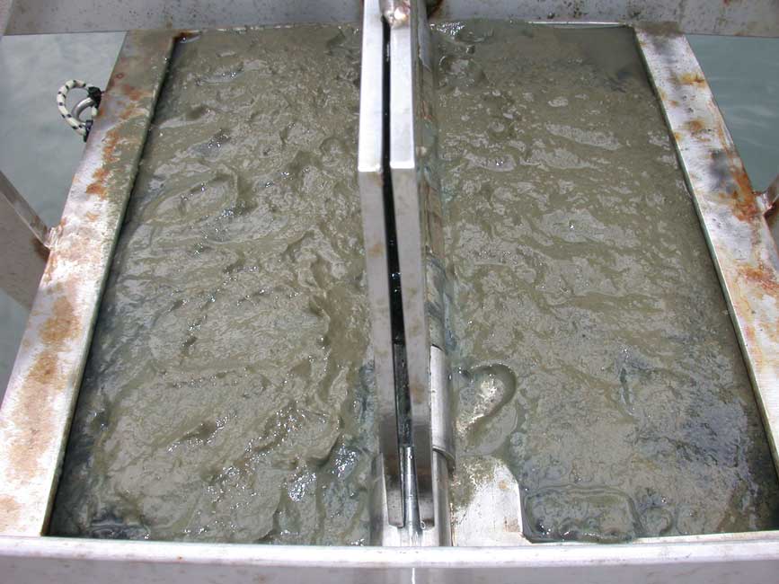
BH103
|
|
Sample ID:
|
BH103 |
|
Depth (in meters):
|
13.0 |
|
Latitude (Decimal Degrees, North):
|
42.3662083 |
|
Longitude (Decimal Degrees, West):
|
-71.0449717 |
|
% Gravel:
|
0.11 |
|
% Sand:
|
15.21 |
|
% Silt:
|
38.47 |
|
% Clay:
|
46.21 |
|
Shepard Classification:
|
SILTY CLAY |
