USGS Coastal and Marine Geology Program
Title Page /
Table of Contents /
List of Figures /
Introduction /
Maps / Data Collection/Processing / Interpretation / Acknowledgments / Appendix 1 / Appendix 2 /
Appendix 3 /
 |
||
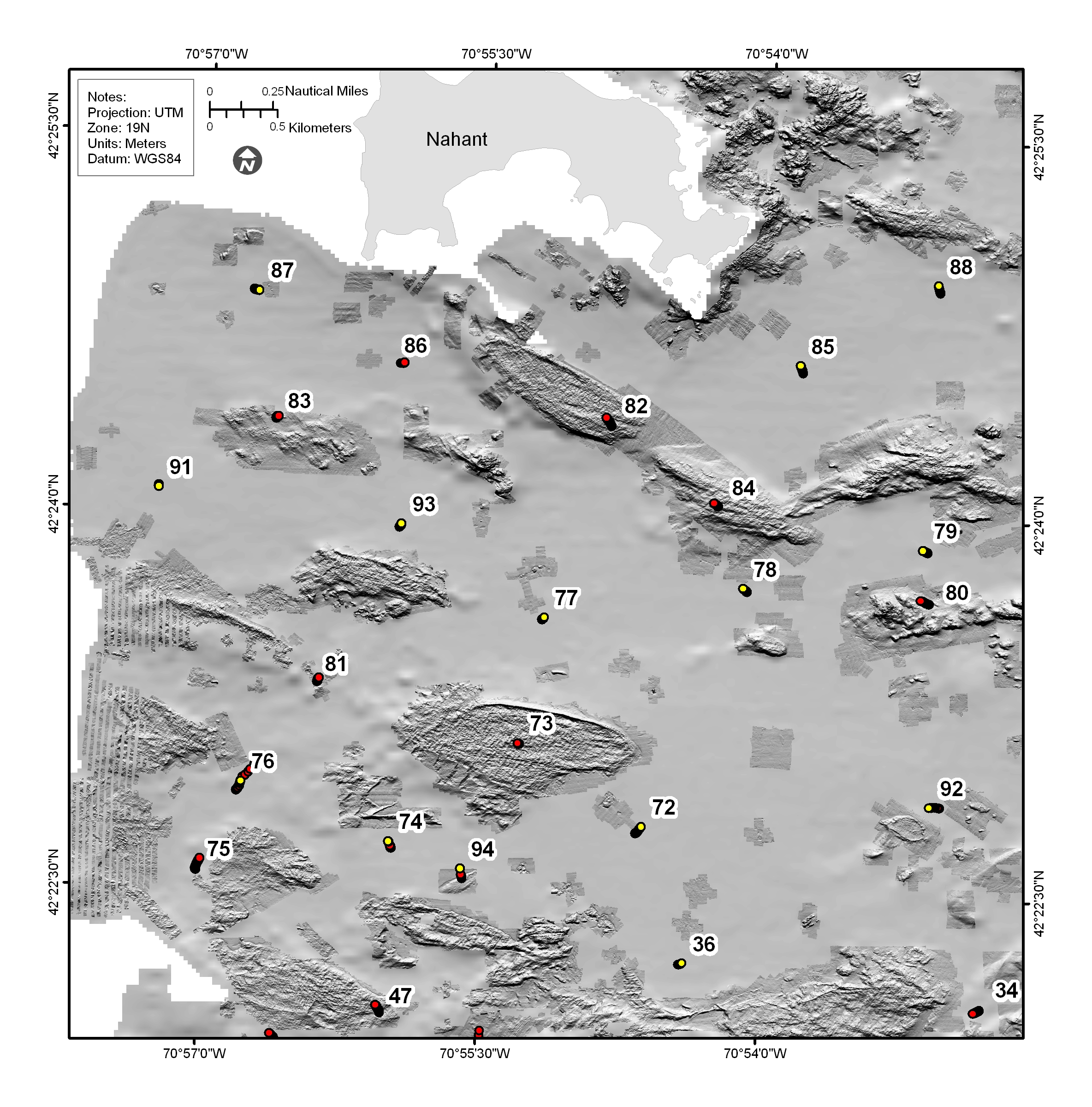
Figure 4.14a. Shaded-relied bathymetric map of the Approaches to Boston Harbor, north of the Harbor Islands and south of Nahant, including Broad Sound (see fig. 4.2 for map location). The darker patches indicate the areas where multibeam bathymetry was collected and data gridded at 2 m; the rest of the area was mapped by single-beam sonar and gridded at 30 m. The sea floor in this region is characterized by elevated rough areas, some of which are hypothesized to be drumlins reworked by rising sea level. See Figure 4.15 for selected photographs at stations 72, 73, and 84. See Figure 4.14b for companion sidescan-sonar image. | ||
