USGS Coastal and Marine Geology Program
Title Page /
Table of Contents /
List of Figures /
Introduction /
Maps / Data Collection/Processing / Interpretation / Acknowledgments / Appendix 1 / Appendix 2 /
Appendix 3 /
 |
||
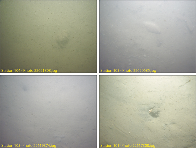
Figure 4.6. Photographs of the sea floor in Boston Inner Harbor stations 104, 103, 105, 101 showing a muddy sea floor. See Figure 4.3 for station locations. See Appendix 3 for more photographs at these stations. The field of view of each image is approximately 50 cm wide. | ||
