
Woods Hole Science Center
Sea-Floor Character and Sedimentary Processes of Great Round Shoal Channel, Offshore Massachusetts
![]() Title |
Introduction |
Setting |
Methods |
Overview |
Discussion |
Interpretation |
Data Catalog |
Acknowledgments |
References |
Figures |
Bottom Photographs |
Sediment Data |
Contacts
Title |
Introduction |
Setting |
Methods |
Overview |
Discussion |
Interpretation |
Data Catalog |
Acknowledgments |
References |
Figures |
Bottom Photographs |
Sediment Data |
Contacts
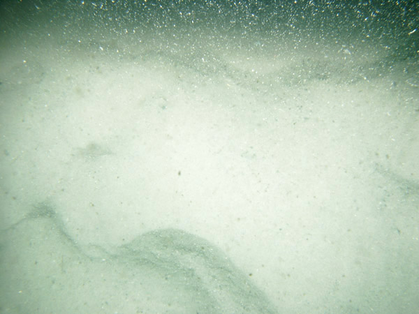
| GRS-19 / Current rippled coarse well-sorted sand with scattered shell debris concentrated in ripple troughs. | |||||
 PICT0059 |  PICT0060 |  PICT0061 | |||
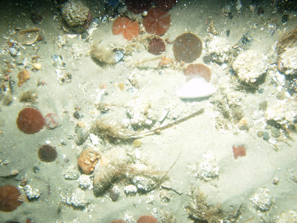
| GRS-21 / Current rippled medium to coarse moderately well-sorted sand with megaripples and abundant sand dollars; shark and traces of loose seaweed are present. | |||||
 PICT0119 | 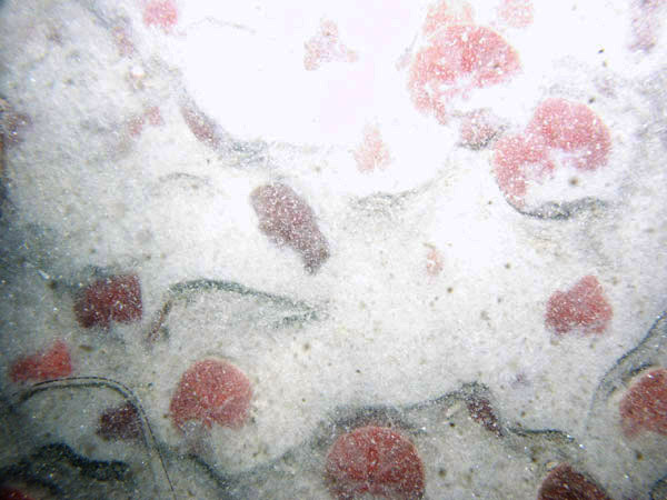 PICT0120 |  PICT0121 | | ||
| GRS-22 / Rippled sand with sand waves and megaripples. Scattered sand dollars are present, shell debris is concentrated in bedform. | |||||
 PICT0115 |  PICT0116 | 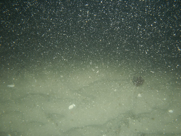 PICT0117 | |||
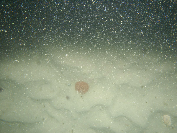
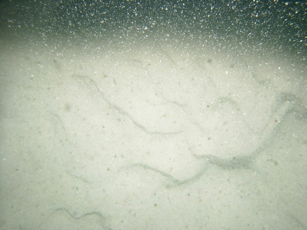
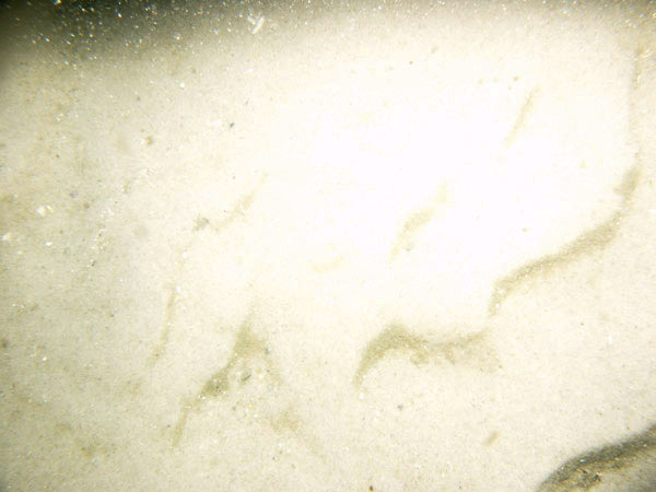
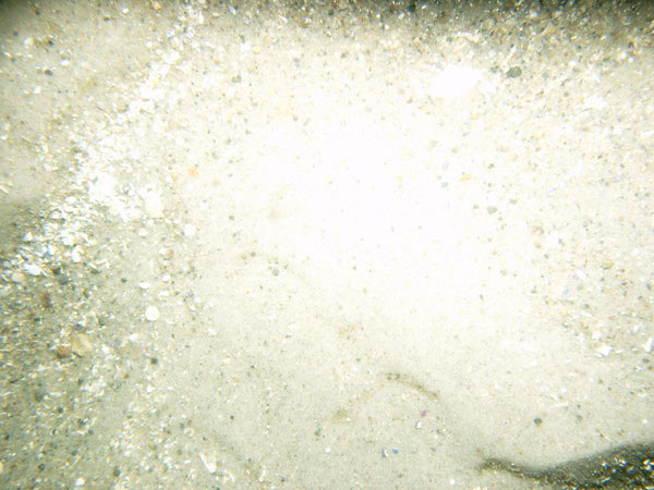
| GRS-24 / Rippled clean well-sorted sand with traces of shell debris. Moon snail casings and sand dollars are present. | |||||
 PICT0064 | PICT0064 | 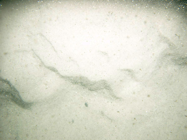 PICT0065 | 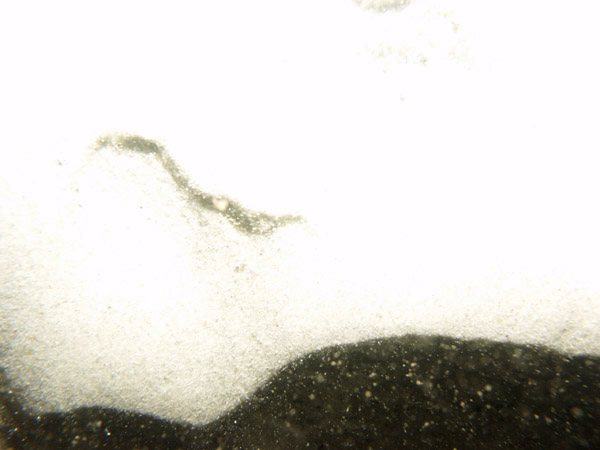 PICT0066 | ||
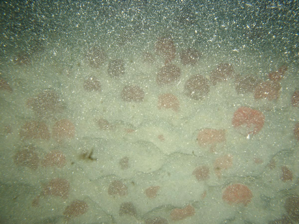
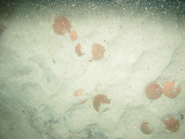
| GRS-25 / Rippled clean medium-coarse sand and sand waves with abundant sand dollars. A few skate, hermit crabs, and barnacle-covered pieces of gravel are present. | |||||
 PICT0067 | 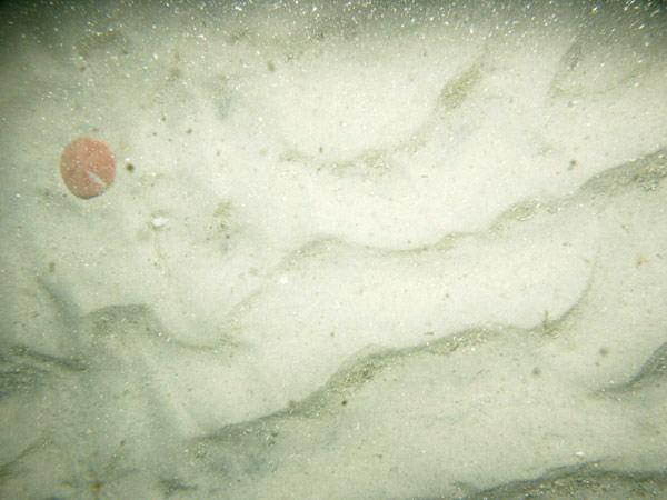 PICT0068 |  PICT0069 | |||
| GRS-26 / Rippled clean medium-coarse sand with sand waves. Sand dollars are concentrated on bedform crests; shell debris is concentrated in the troughs. | |||||
 PICT0112 |
 PICT0113 | 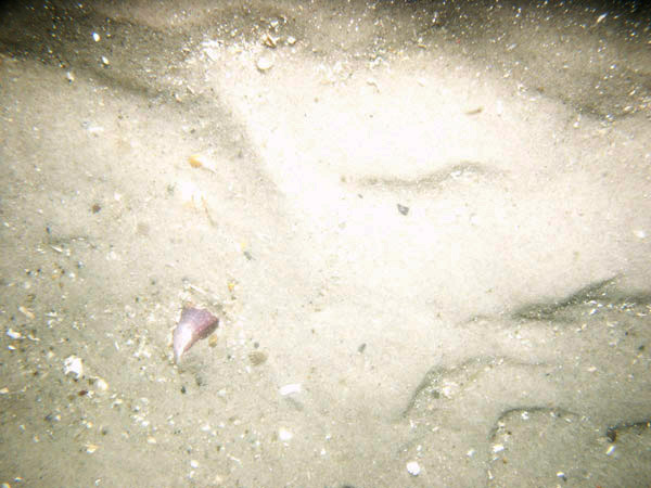 PICT0114 | |||
| GRS-27 / Rippled sand with sand waves and megaripples and scattered shell debris. | |||||
 PICT0070 |  PICT0071 |  PICT0072 | 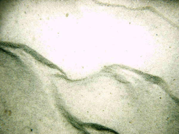 PICT0073 | ||
| GRS-28 / Rippled coarse sand with scattered and patchy shell debris. Loose drifting seaweed and a skate are present. | |||||
 PICT0146 |  PICT0147 | 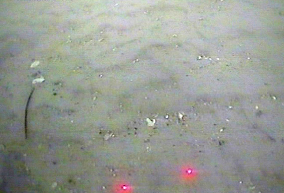 PICT0148 | |||
| GRS-31 / Rippled sand with megaripples. Moon snail casings and loose organic debris and shell hash are concentrated in the ripple troughs. | |||||
 PICT0076 |  PICT0077 |  PICT0078 | | ||
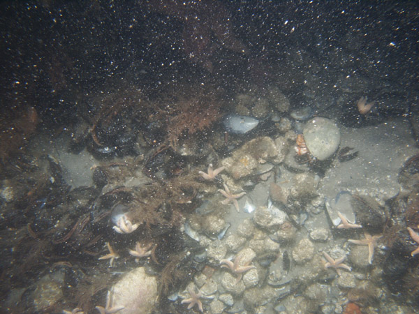
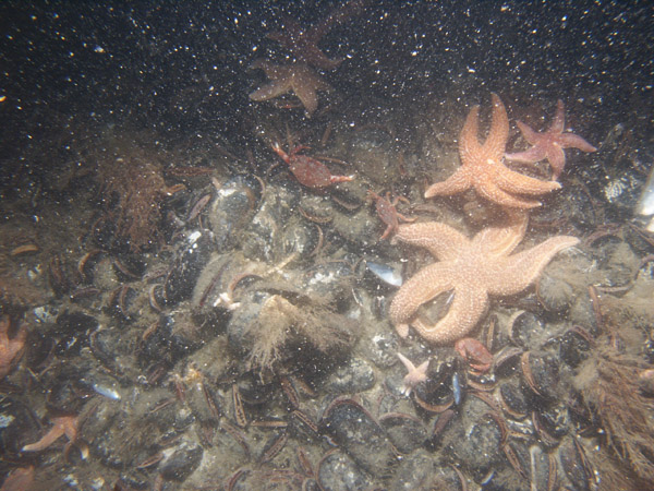
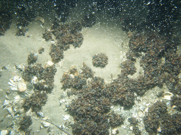
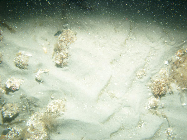
| GRS-32 / Boulders covered by dense mussel beds. Starfish and crabs are abundant; sharks and sponges are present. | |||||
 PICT0105 | 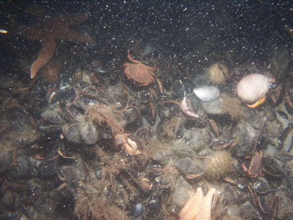 PICT0106 | 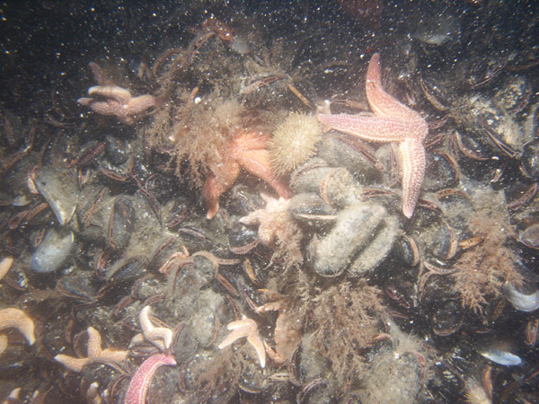 PICT0107 |  PICT0108 | ||
 PICT0109 |
 PICT0110 |
 PICT0111 |
|||
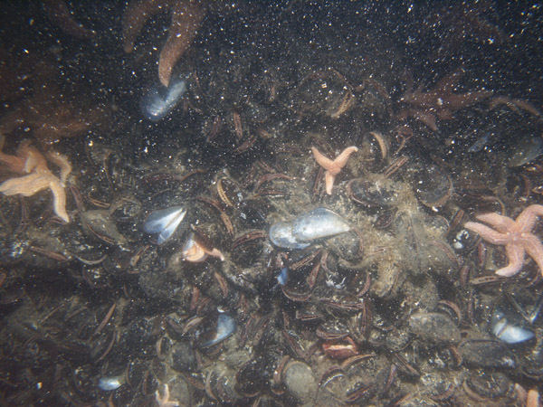
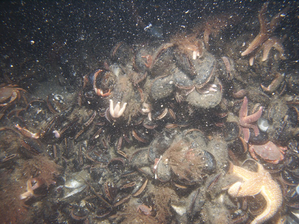
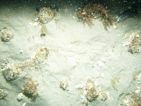
| GRS-34 / Dense patches of mussels. Faintly rippled patches of sand are present between the patches of mussels; uneven sea floor may be sand waves. Sponges, skate, and abundant shell debris are present. | |||||
 PICT0102 |  PICT0103 | 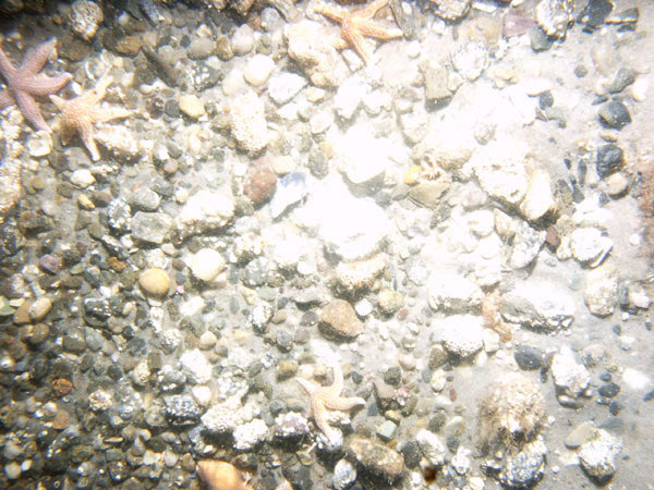 PICT0104 |
|||
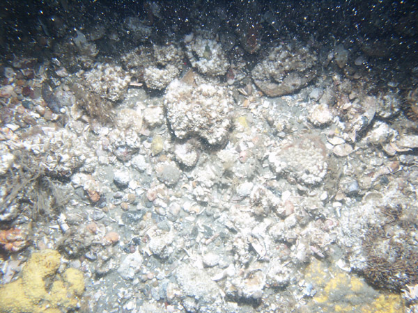
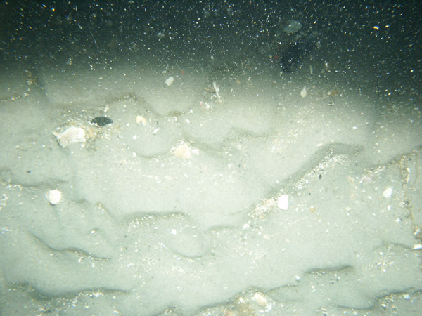
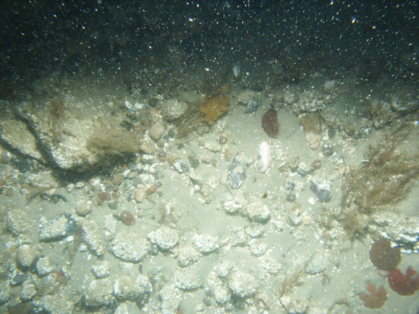
| GRS-35 / Rippled and megarippled gravelly sand. Gravel is often covered by barnacles and seaweed; dogfish, skate, sand dollars, mussel shells, snail, and pink coralline algae are present. | |||||
 PICT0096 | 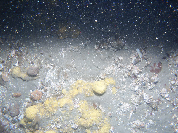 PICT0097 | 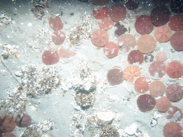 PICT0098 | 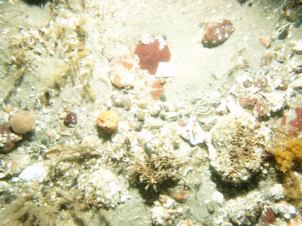 PICT0099 | ||
 PICT0100 | 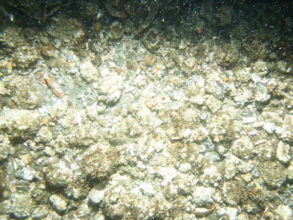 PICT0101 |
||||
| GRS-36 / Rippled and megarippled coarse sand and fine gravel with scattered sand dollars. Shell debris (quohog shells) is scattered and patchy, but mostly concentrated in the troughs of bedforms. | |||||
 PICT0079 | 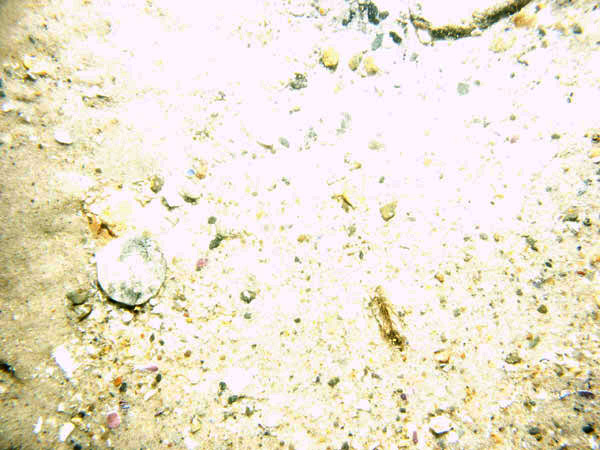 PICT0080 |  PICT0081 | |||
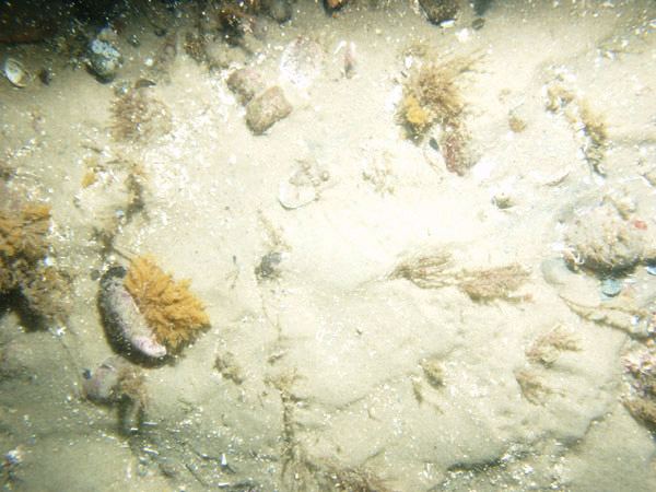
| GRS-37 / Coarse sand with some gravel and shell debris. Scattered cobbles are covered with barnacles and seaweed. Sand dollars and sea robin are present. | |||||
 PICT0091 |
 PICT0092 |
 PICT0093 |
 PICT0094 | ||
| GRS-38 / Coarse sand with abundant sand dollars and some gravel and shell debris. Scattered pieces of gravel are covered with barnacles and seaweed. | |||||
 PICT0083 |
 PICT0084 |
 PICT0085 |
|||
 PICT0086 |
 PICT0087 |
||||
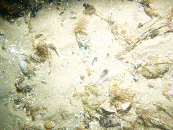
| GRS-39 / Rippled sand with mussel shells, attached seaweed, and some gravel. | |||||
 PICT0088 |
 PICT0089 |
 PICT0090 |
|||
![]() Title |
Introduction |
Setting |
Methods |
Overview |
Discussion |
Interpretation |
Data Catalog |
Acknowledgments |
References |
Figures |
Bottom Photographs |
Sediment Data |
Contacts
Title |
Introduction |
Setting |
Methods |
Overview |
Discussion |
Interpretation |
Data Catalog |
Acknowledgments |
References |
Figures |
Bottom Photographs |
Sediment Data |
Contacts


