
Woods Hole Science Center
Sea-Floor Character and Sedimentary Processes of Great Round Shoal Channel, Offshore Massachusetts
![]() Title |
Introduction |
Setting |
Methods |
Overview |
Discussion |
Interpretation |
Data Catalog |
Acknowledgments |
References |
Figures |
Bottom Photographs |
Sediment Data |
Contacts
Title |
Introduction |
Setting |
Methods |
Overview |
Discussion |
Interpretation |
Data Catalog |
Acknowledgments |
References |
Figures |
Bottom Photographs |
Sediment Data |
Contacts
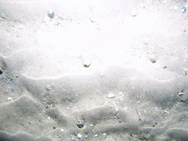
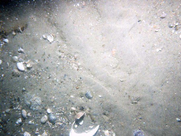
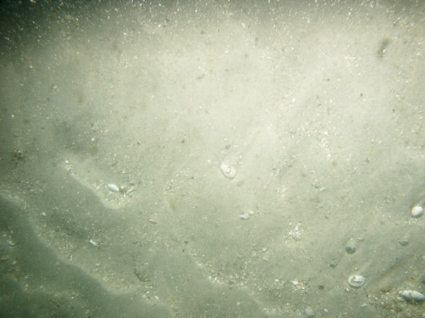
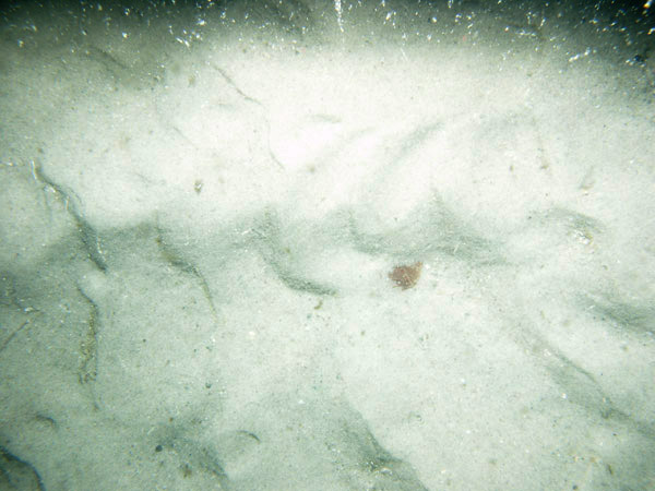
| GRS-1 / Rippled medium sand with sand waves, shell debris and gravel in troughs, loose seaweed and small crabs. | |||
 PICT0011 | 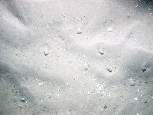 PICT0012 |  PICT0013 | 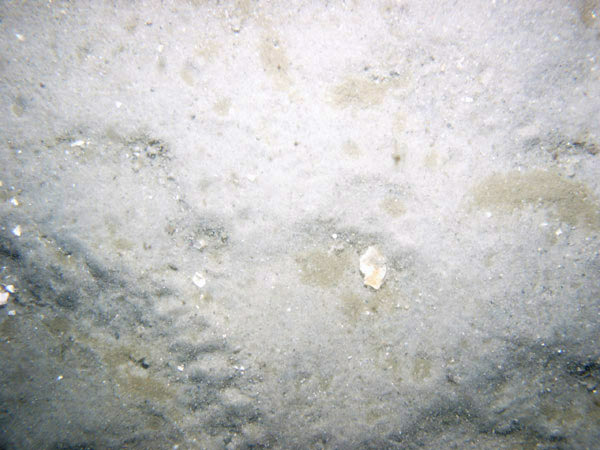 PICT0014 |
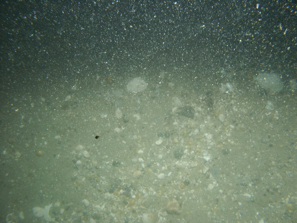
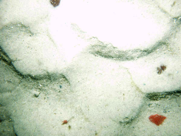
| GRS-2 / Rippled medium sand with numerous yellow sponges, and attached seaweed, shell debris, and a skate. | |||
 PICT0015 | 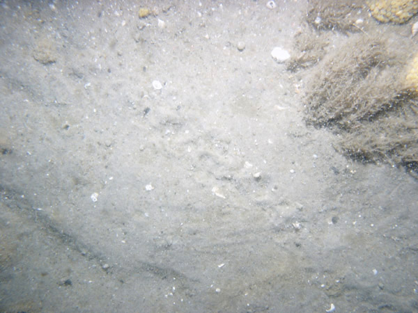 PICT0016 | 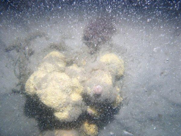 PICT0017 | 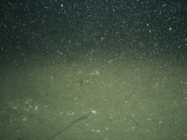 PICT0018 |
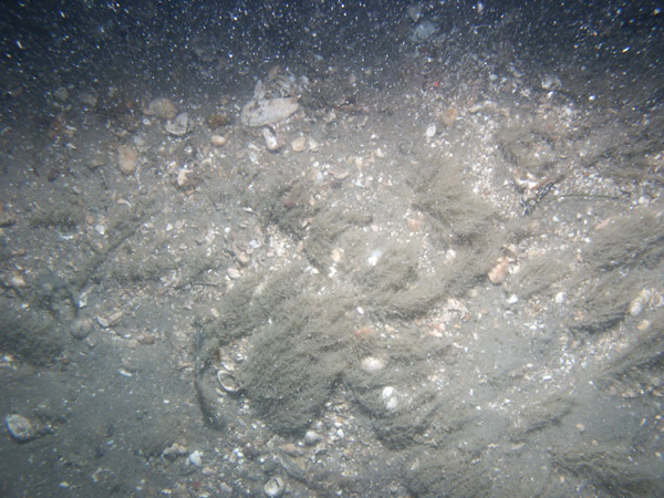
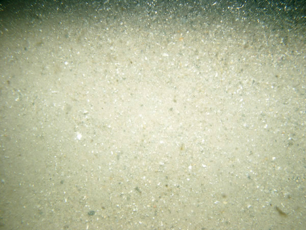
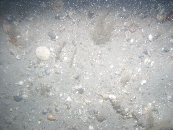
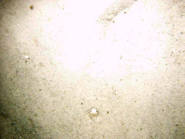
| GRS-4 / Rippled sand with scattered boulders and gravel patches. Skate, seaweed, sponges and abundant shell debris are present. | |||
 PICT0019 | 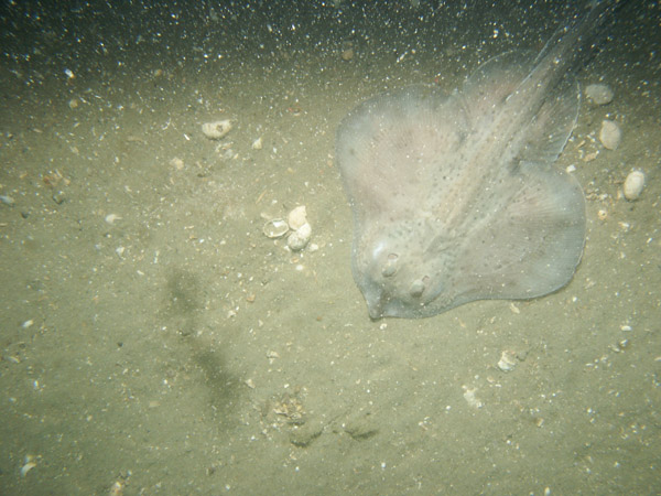 PICT0020 | 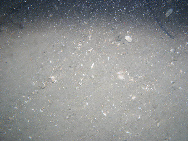 PICT0021 | 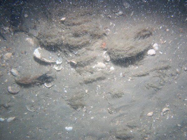 PICT0022 |
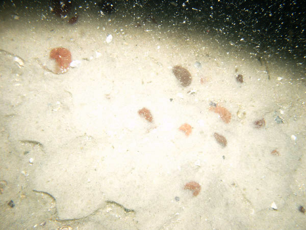
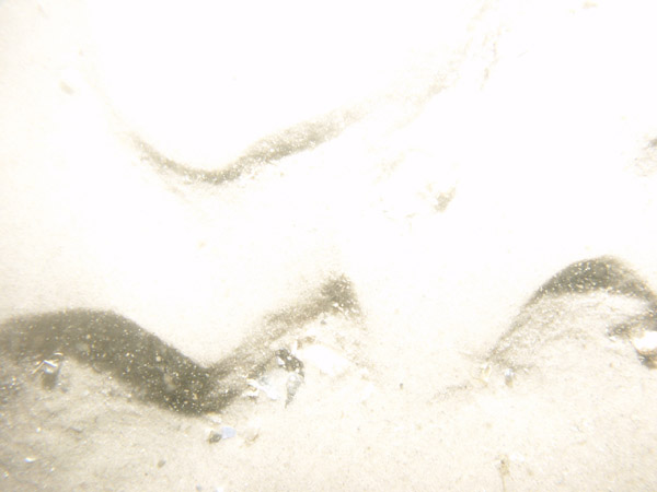
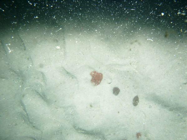
| GRS-5 / Rippled sand and sand waves; seaweed and shell hash concentrated in the troughs and sand dollars concentrated on the ripple crests. | |||
 PICT0137 | 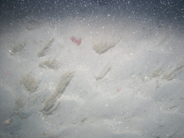 PICT0032 | 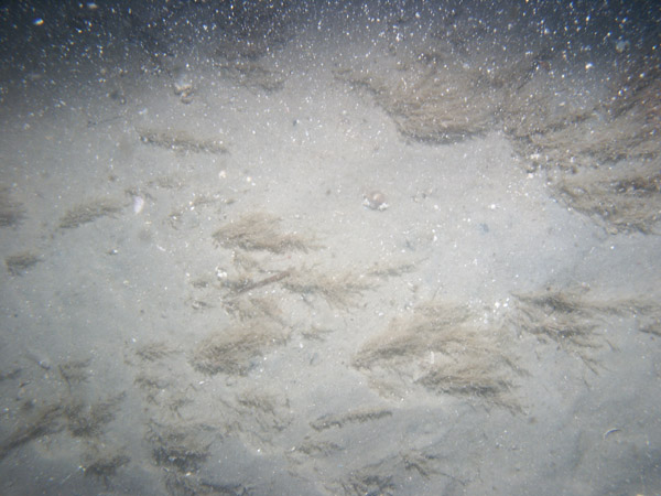 PICT0033 | |
| GRS-6 / Rippled sand with seaweed, gravel patches, and abundant shell debris. | |||
 PICT0028 | 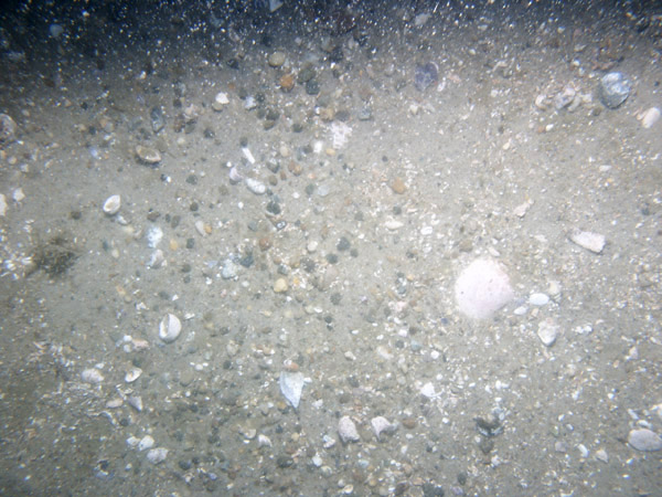 PICT0029 | 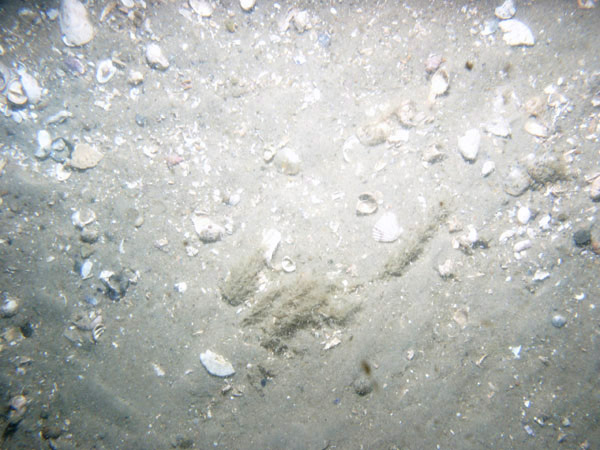 PICT0030 | |
| GRS-8 / Rippled sand with seaweed, large gravel patches, and some shell debris. | |||
PICT0032 | PICT0033 | 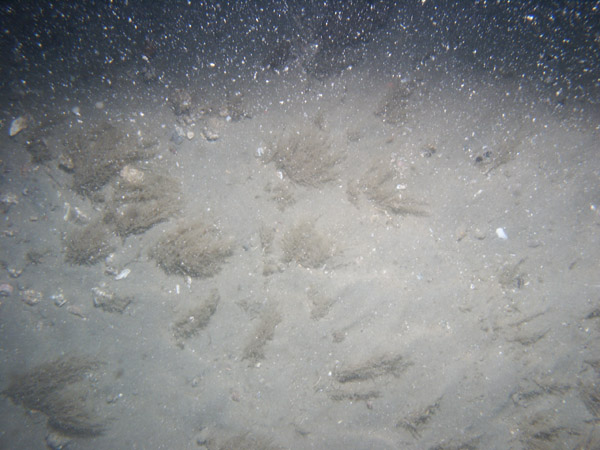 PICT0034 |  PICT0035 |
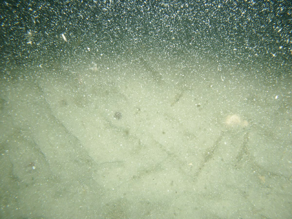
| GRS-9 / Rippled sand with sand waves and patchy shell debris. Shell debris concentrated in wave troughs. | |||
 PICT0036 |
 PICT0037 |
 PICT0038 |
|
| GRS-10 / Coarse, well-sorted, rippled sand with small sand waves (megaripples) and shell debris concentrated in wave troughs. | |||
 PICT0040 | 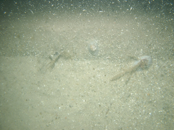 PICT0041 | 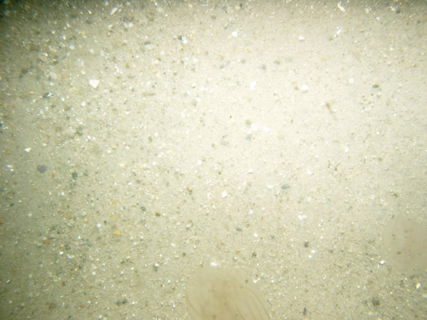 PICT0042 |
|
| GRS-11 / Megaripples with sandy rippled crests and shell hash, seaweed, and sand dollars.. | |||
 PICT0135 | 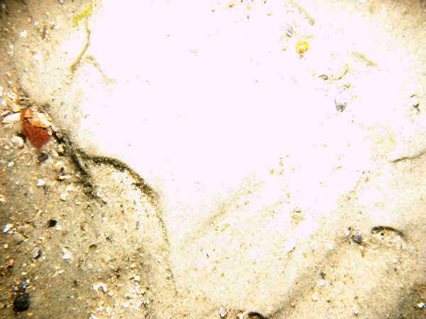 PICT0136 | PICT0137 | 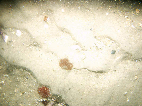 PICT0138 |
 PICT0139 | 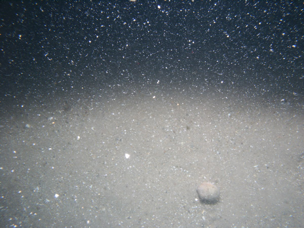 PICT0140 |  PICT0141 |  PICT0142 |
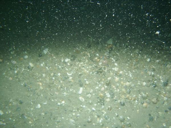
| GRS-12 / Rippled and smooth sand with abundant shell debris, attached seaweed, and pea gravel. | |||
 PICT0043 | 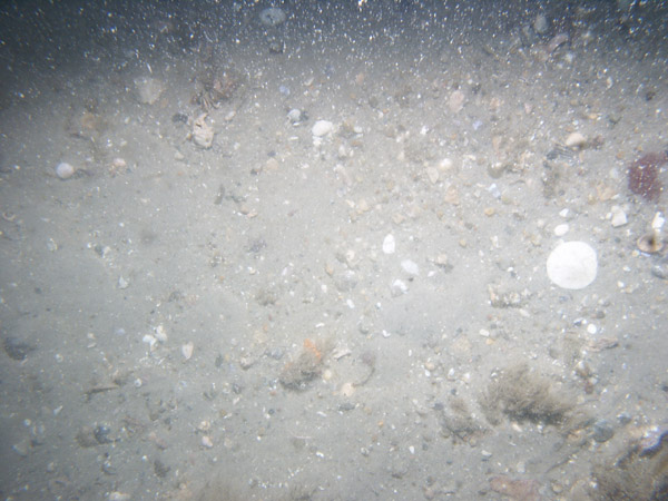 PICT0044 |  PICT0045 |  PICT0046 |
| GRS-13 / Coarse sand with small ripples. Scattered shell debris, loose seaweed and sand dollars are present. | |||
 PICT0047 |  PICT0048 |  PICT0049 | 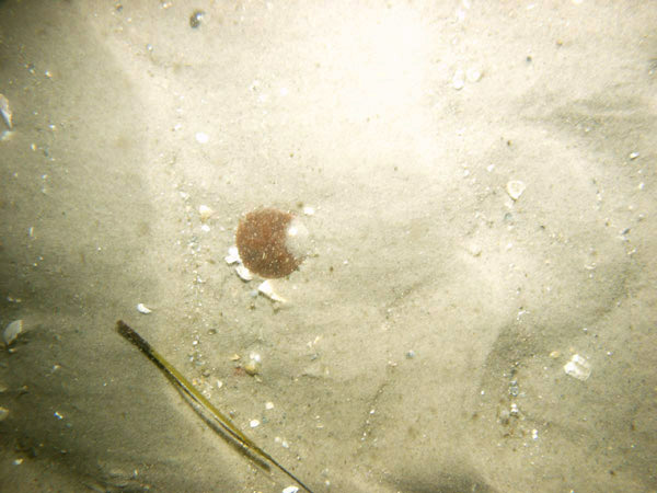 PICT0050 |
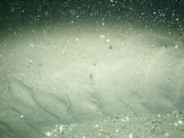
| GRS-14 / Rippled sand and megaripples with broad flat areas. Shell debris and pea gravel are concentrated in the bedform troughs. | |||
 PICT0130 |
 PICT0131 |
 PICT0132 |
|
 PICT0133 |
 PICT0134 | ||
| GRS-15 / Current-rippled sand. Shell debris and barnacle-covered gravel are concentrated in bedform troughs; sand dollars and attached hydrozoans and seaweed are present. | |||
 PICT0052 | 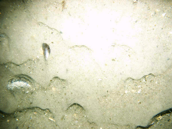 PICT0053 |  PICT0054 | 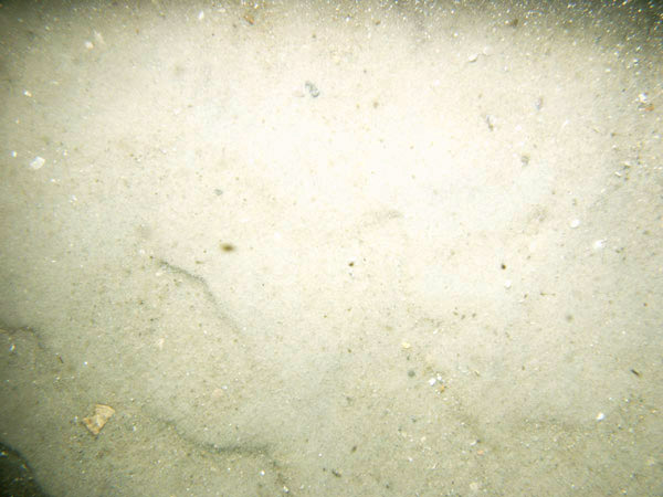 PICT0055 |
| GRS-16 / Rippled sand with scattered sand dollars, shell debris, and loose seaweed. Moon snail casings are present. | |||
 PICT0125 |
 PICT0126 |
 PICT0127 |
|
 PICT0128 |
 PICT0129 | ||
| GRS-17 / Rippled coarse sand and megaripples. Loose seaweed, shell hash, and dense patches of sand dollars are present. | |||
 PICT0122 |  PICT0123 |  PICT0124 | |
| GRS-18 / Current rippled, coarse, well-sorted sand with traces of pea gravel and shell debris. | |||
 PICT0056 | 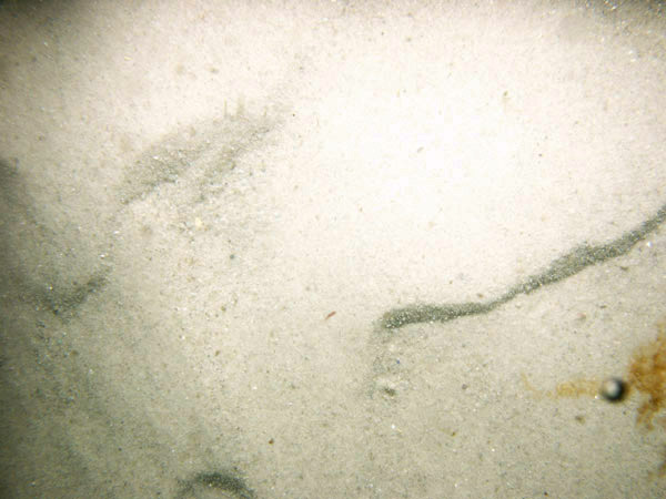 PICT0057 | 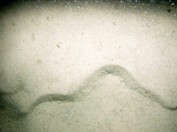 PICT0058 | |
![]() Title |
Introduction |
Setting |
Methods |
Overview |
Discussion |
Interpretation |
Data Catalog |
Acknowledgments |
References |
Figures |
Bottom Photographs |
Sediment Data |
Contacts
Title |
Introduction |
Setting |
Methods |
Overview |
Discussion |
Interpretation |
Data Catalog |
Acknowledgments |
References |
Figures |
Bottom Photographs |
Sediment Data |
Contacts


