Title Page - Introduction - Cruise Report - Equipment - Chirp Data - Shotpoint Maps - Navigation - Pictures - Metadata
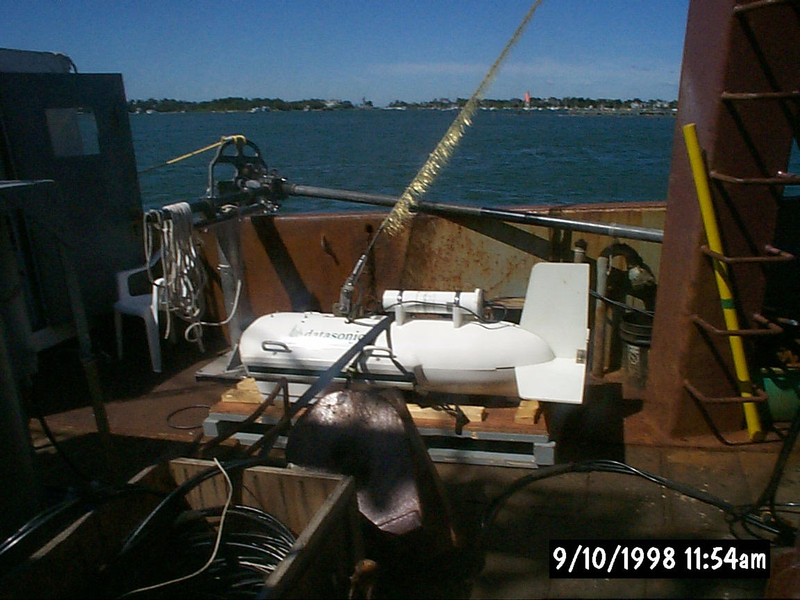
Datasonics SIS-1000 Sidescan Sonar and Chirp Subbottom Towfish |
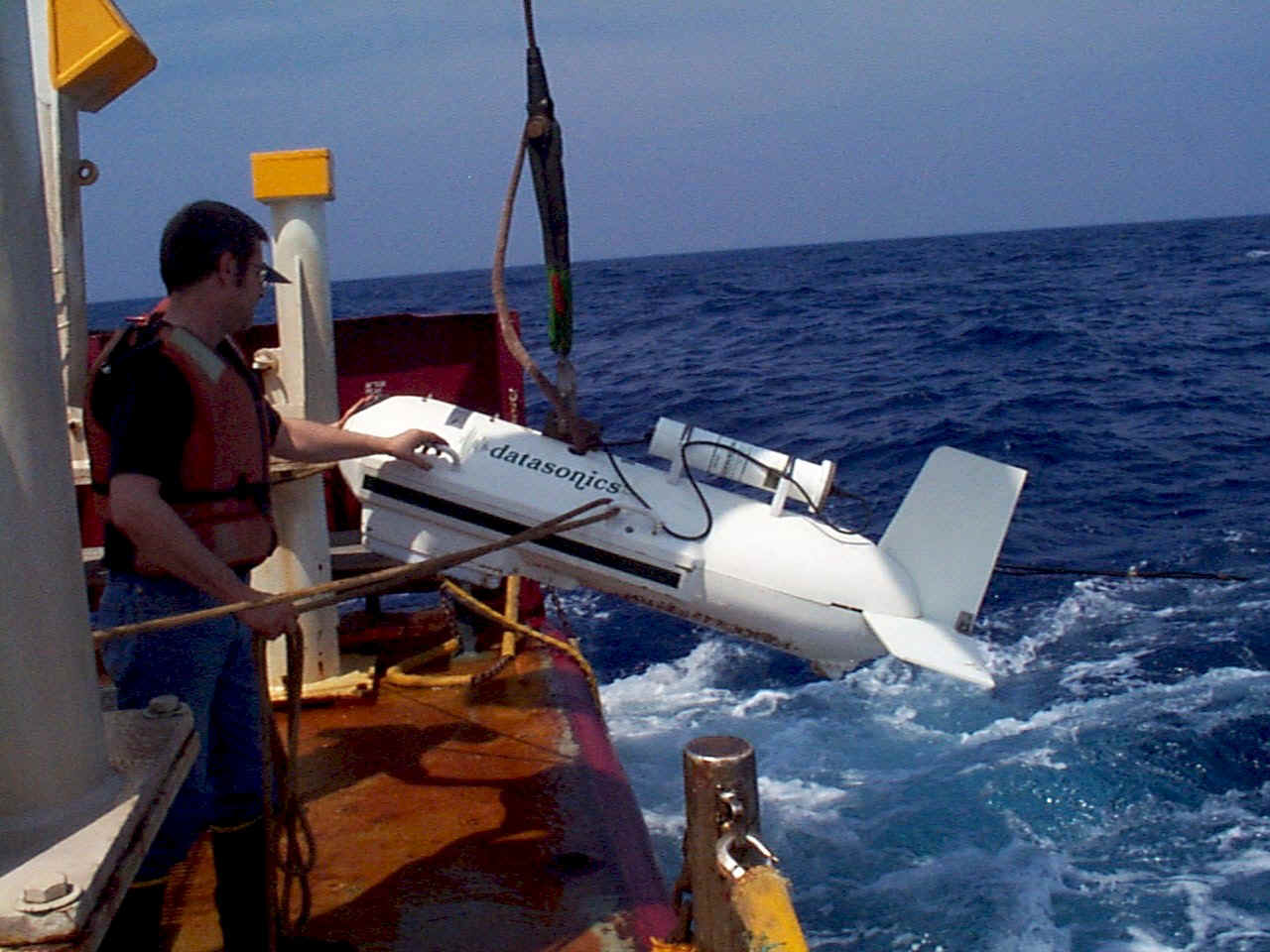
Deployment of the Datasonics SIS-1000 |
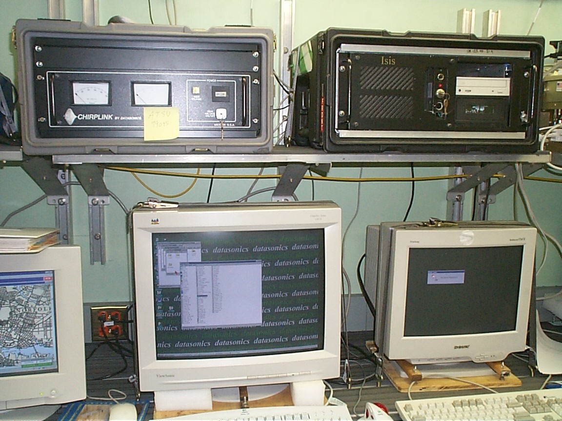
Triton ISIS data acquisition system |
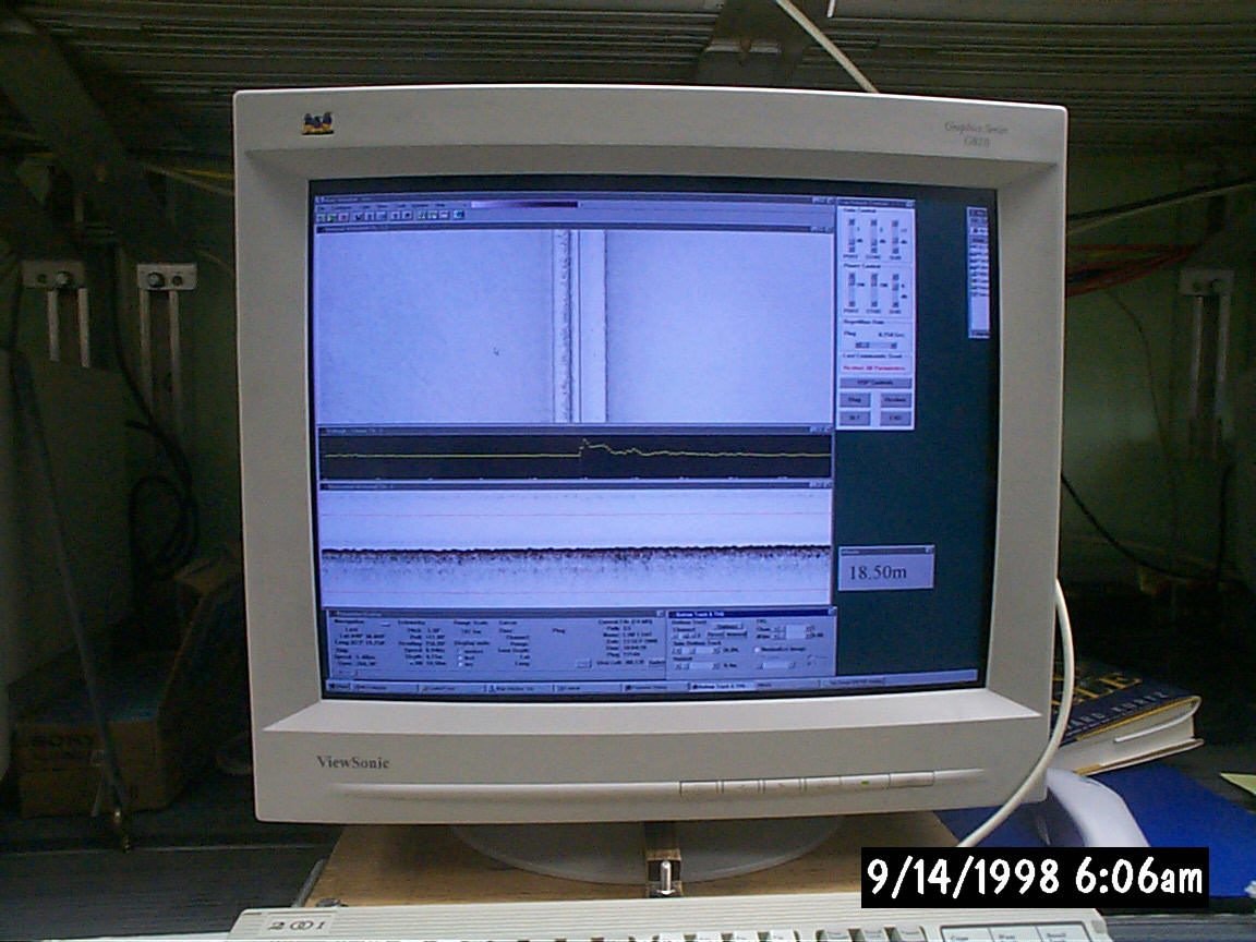
ISIS display |
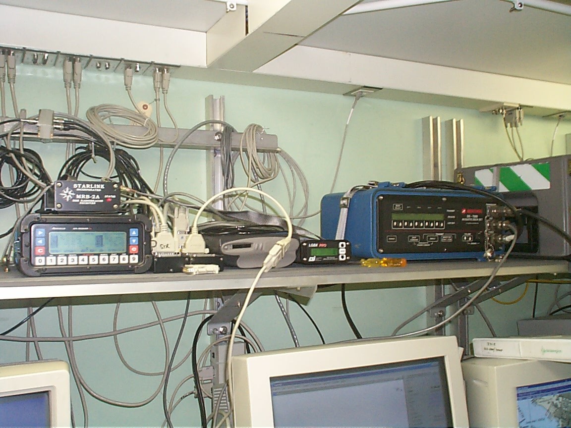 Ashtech GPS and differential receivers (right) and Benthos ranging unit (left) |
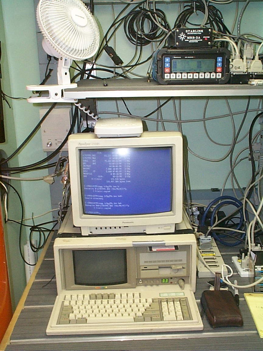
USGS navigation computer for navigation logging and display |
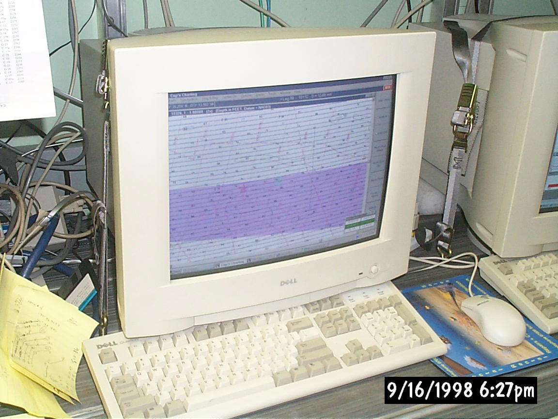
The Cap'n navigation and charting display |
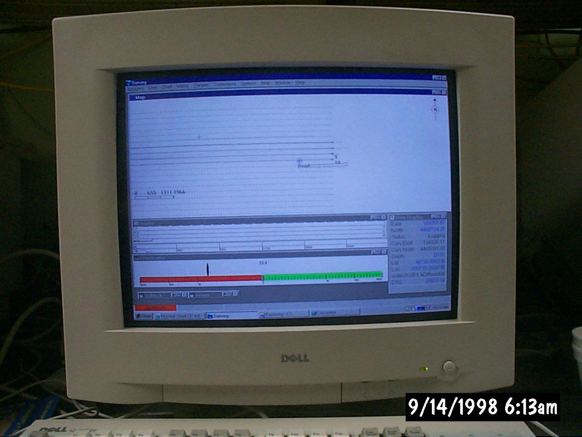
Hypack navigation display |

Title Page - Introduction - Cruise Report - Equipment - Chirp Data - Shotpoint Maps - Navigation - Pictures - Metadata