USGS Coastal and Marine Hazards and Resources Program
Title Page /
Table of Contents /
List of Figures /
Introduction /
Maps /
Data Collection/Processing /
Interpretation /
Acknowledgments /
Appendix 1 /
Appendix 2 /
Appendix 3 /
 |
|
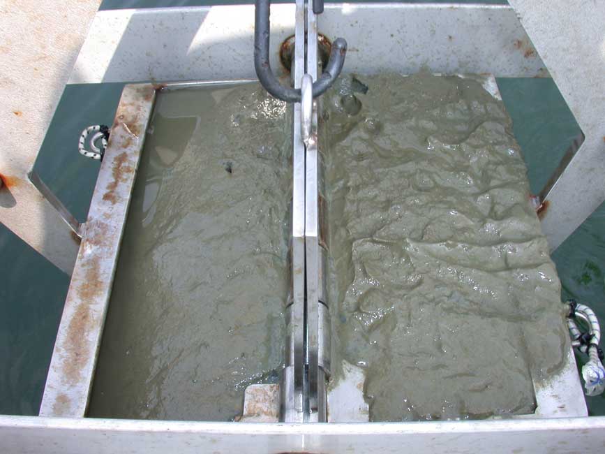
BH101
|
|
Sample ID:
|
BH101 |
|
Depth (in meters):
|
10.2 |
|
Latitude (Decimal Degrees, North):
|
42.3428817 |
|
Longitude (Decimal Degrees, West):
|
-71.0090683 |
|
% Gravel:
|
0 |
|
% Sand:
|
21.91 |
|
% Silt:
|
49.13 |
|
% Clay:
|
28.95 |
|
Shepard Classification:
|
SAN SIL CLAY |
