USGS Coastal and Marine Geology Program
Title Page / Table of Contents / List of Figures / Introduction / Maps / Data Collection/Processing / Interpretation / Acknowledgments / Appendix 1 / Appendix 2 / Appendix 3 /
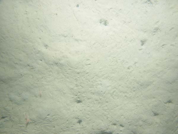
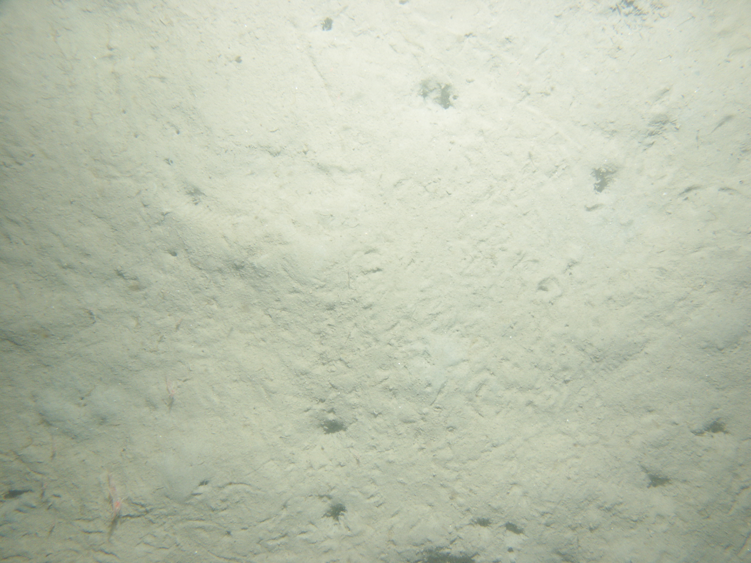
22519750.jpg Station # 30 Lat 42.3613717 Long -70.8468417 Time (UTC) 15:29:10 Click here for the full-resolution JPG Image
Disclaimer and Accessibility
