Geographic Information System
- Data Access
- Raster and Vector Data Description
- Data Catalog
1. Data Access
The spatial data on this DVD are delivered in two different forms:
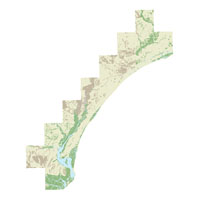
All raster and vector data are stored within an ArcGIS map document ofr_2005-1346.mxd.
Refer to Section 2 (Raster and Vector Data) below for more details on file descriptions and locations.
Projection:
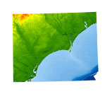
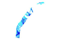
Raster data: Universal Transverse Mercator (UTM) Meters, Zone 17, WGS84 Datum.
Vector data: Geographic Coordinate System, WGS84 Datum.
Viewing the data:
The data can be accessed in a number of different ways depending on software availability.
- ArcGIS 9.0 or higher : spatial analyst extension required in order to view and manipulate all data
- ArcView 3.x : spatial analyst extension required in order to view and manipulate all data
ArcGIS 9.0 or higher:
Copy the following folder OFR_2005_1346/ArcGIS to a local computer and open the
ArcMap Document ofr_2005-1346.mxd.
The ArcMap Document is saved with relative links. Thus, as long as the sub-folders remain under the parent directory
(ArcGIS) there is no need to change
drive letters or pathways. The ArcGIS map document can also be read directly
from the DVD (read-only mode) by opening ofr_2005-1346.mxd.
Requirements: Approximately 1 gigabyte of free space is needed in order to copy the data to a local drive.
ArcView 3.x:
The data can be viewed using ArcView 3.x and the spatial analyst extension.
Data Download:
Raster and Vector data are stored and compressed within zip files in order to facilitate downloads. WinZip files
are linked within the Data Catalog. See below for specific download instructions (see Data Catalog).
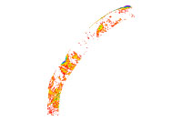
Raster grids are stored as ASCII raster files with associated metadata in the compressed zip document. The ASCII raster files can be easily converted to ESRI gird format in either ArcView with spatial analyst extension (Import Data Source: ASCII Raster) or ArcGIS with spatial analyst extension (ASCII to Raster). Vector data are stored as shapefiles within the zip document.
If WinZip is not currently installed on the local system, go to
WinZip to download the latest version of the WinZip utility.
|

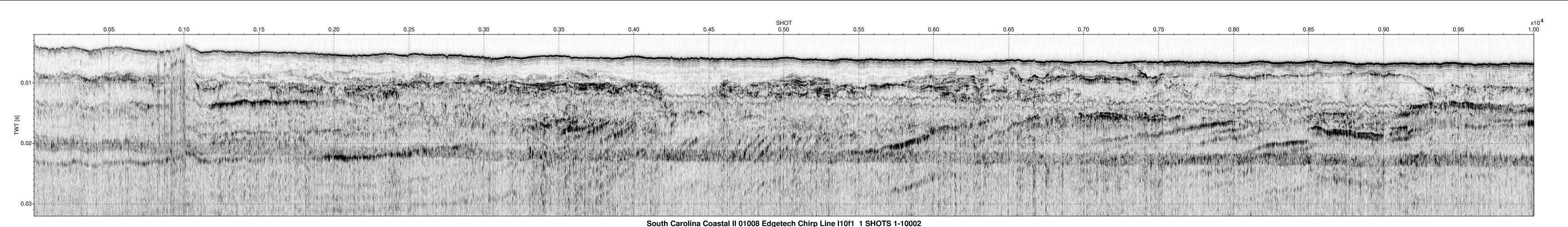
 ArcGIS folder
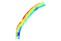
 ) can then be used to display
the seismic images associated with an individual trackline.
) can then be used to display
the seismic images associated with an individual trackline. 


 Back to Previous Section
 Forward to Next Section