
Woods Hole Science Center
Geologic Interpretation and Multibeam Bathymetry of the Sea Floor in the Vicinity of the Race, Eastern Long Island Sound
![]() Title |
Introduction |
Setting |
Methods |
Results |
Discussion |
Data Catalog |
Acknowledgments |
References |
Figures |
Contacts
Title |
Introduction |
Setting |
Methods |
Results |
Discussion |
Data Catalog |
Acknowledgments |
References |
Figures |
Contacts
 |
||
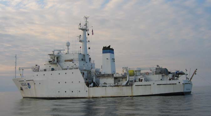
Figure 3. Port-side view of the NOAA Ship Thomas Jefferson at sea. Note that the 30-foot survey launch normally stowed on this side of the ship has been deployed. | ||


